Exploring GEO Satellites: Unlocking the Power of Geostationary Orbit
GEO Satellites: Unlocking the Power of Geostationary Orbit
GEO satellites, or Geostationary Orbit satellites, have been a cornerstone of satellite technology for decades. With their unique ability to remain stationary in the sky, GEO satellites have enabled a wide range of applications, from telecommunications and weather forecasting to navigation and Earth observation. In this article, we will explore the world of GEO satellites, delving into their history, advantages, and uses.
History of GEO Satellites
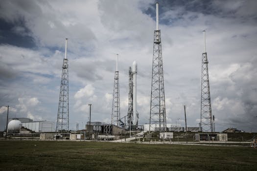
The concept of GEO satellites was first proposed by scientist Arthur C. Clarke in 1945. Clarke envisioned a network of satellites in geostationary orbit, which would provide a means of global communication. The first GEO satellite, Syncom 2, was launched in 1963, and it paved the way for the development of modern GEO satellites. Since then, thousands of GEO satellites have been launched, with many more planned for the future.
Advantages of GEO Satellites
GEO satellites offer a number of advantages over other types of satellites. One of the primary benefits is their ability to provide continuous coverage of a specific region. Because GEO satellites remain stationary in the sky, they can maintain a constant connection with a particular area, making them ideal for applications such as telecommunications and weather forecasting. Additionally, GEO satellites can provide high-gain antennas, which enable them to transmit and receive signals with greater strength and clarity.
Uses of GEO Satellites
GEO satellites have a wide range of uses, including telecommunications, weather forecasting, navigation, and Earth observation. Telecommunications satellites, such as Intelsat and Inmarsat, provide internet and phone connectivity to remote and underserved areas. Weather forecasting satellites, such as Geostationary Operational Environmental Satellite (GOES), monitor the weather and provide critical data for predicting storms and other severe weather events. Navigation satellites, such as GPS, provide location information and timing signals to receivers on the ground. Earth observation satellites, such as Landsat and MODIS, monitor the environment and provide data on climate change, deforestation, and other environmental issues.
Challenges and Limitations of GEO Satellites
While GEO satellites offer many benefits, they also have some challenges and limitations. One of the primary challenges is the high cost of launching and maintaining a GEO satellite. Additionally, GEO satellites are susceptible to interference from other satellites and terrestrial sources, which can impact their performance. Furthermore, the geostationary orbit is becoming increasingly congested, which can lead to collisions and other hazards.
Future of GEO Satellites
Despite the challenges and limitations, the future of GEO satellites looks bright. Next-generation GEO satellites, such as High-Throughput Satellites (HTS), are being developed to provide faster and more efficient connectivity. Additionally, new technologies, such as 5G and quantum communications, are being integrated into GEO satellites to enable new applications and services. As the demand for satellite-based services continues to grow, the importance of GEO satellites will only continue to increase.


