GEO Satellites: Revolutionizing Global Communication and Navigation
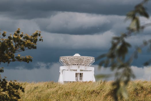
GEO satellites, or Geostationary Earth Orbit satellites, are a type of satellite that orbits the Earth at an altitude of approximately 36,000 kilometers, remaining stationary relative to a fixed point on the equator. This unique characteristic allows GEO satellites to provide a wide range of services, including television broadcasting, telecommunications, and weather forecasting, to a specific region of the Earth. In this article, we will explore the history, applications, and benefits of GEO satellites, as well as the challenges and limitations associated with their use.
History of GEO Satellites
The concept of GEO satellites was first proposed by science fiction writer Arthur C. Clarke in 1945. However, it wasn’t until the 1960s that the first GEO satellite, Syncom 2, was launched by NASA. Since then, the use of GEO satellites has become increasingly widespread, with thousands of satellites currently in orbit around the Earth. The development of GEO satellites has been driven by advances in technology, including improvements in launch vehicles, satellite design, and communications systems.
Applications of GEO Satellites
GEO satellites have a wide range of applications, including television broadcasting, telecommunications, weather forecasting, and navigation. Television broadcasting is one of the most common uses of GEO satellites, with many countries relying on them to transmit television signals to remote or underserved areas. Telecommunications is another major application, with GEO satellites providing internet connectivity, mobile phone services, and other forms of communication to people around the world. Weather forecasting is also an important application, with GEO satellites providing critical data on weather patterns and storms. Finally, navigation is a key application, with GEO satellites providing location information and timing signals to GPS receivers on the ground.
Benefits and Challenges of GEO Satellites
The use of GEO satellites has many benefits, including global coverage, high bandwidth, and reliability. GEO satellites can provide services to a wide range of users, from individual consumers to large organizations, and can operate in a variety of environments, from urban to rural areas. However, there are also challenges associated with the use of GEO satellites, including the risk of satellite failure, interference from other satellites, and the need for frequent replacement. Additionally, the increasing number of satellites in orbit around the Earth has raised concerns about space debris and the potential for collisions.
Future of GEO Satellites
Despite the challenges associated with their use, GEO satellites are likely to continue playing a critical role in global communication and navigation. Advances in technology, including the development of more efficient launch vehicles and more powerful communications systems, are likely to drive the growth of the GEO satellite industry. Additionally, the increasing demand for global connectivity and navigation services is likely to drive the development of new applications and services. However, the industry will also need to address the challenges associated with space debris and satellite collisions, as well as the need for more sustainable and environmentally friendly practices.


