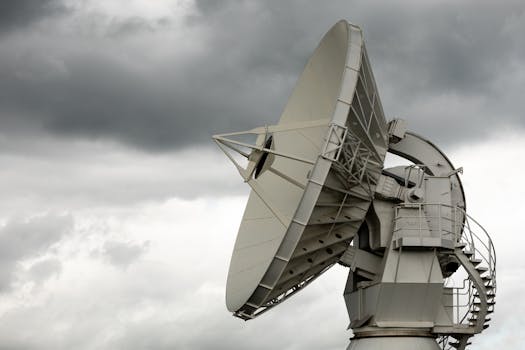
GEO satellites, or geostationary satellites, are a type of satellite that orbits the Earth at an altitude of approximately 36,000 kilometers, allowing them to remain stationary relative to a fixed point on the planet. GEO satellites have been a crucial part of modern telecommunications, navigation, and weather forecasting for decades. In this article, we will delve into the technology and applications of geostationary satellites, exploring their history, functionality, and impact on our daily lives.
The concept of geostationary satellites was first proposed by science fiction writer Arthur C. Clarke in 1945. Clarke suggested that a satellite in a geostationary orbit could be used to transmit signals to a wide area of the Earth’s surface, providing a means of global communication. The first geostationary satellite, Syncom 2, was launched in 1963, and it paved the way for the development of modern GEO satellites.
GEO satellites operate by maintaining a stable orbit around the Earth, which allows them to remain stationary relative to a fixed point on the planet. This is achieved by positioning the satellite at an altitude of approximately 36,000 kilometers, where the orbital period matches the Earth’s rotational period. As a result, GEO satellites appear to be stationary in the sky, making them ideal for applications that require a fixed point of transmission or reception.
The functionality of GEO satellites is based on their ability to transmit and receive signals to and from the Earth’s surface. They are equipped with transponders, which are devices that receive signals, amplify them, and retransmit them back to the Earth. GEO satellites are used for a variety of applications, including telecommunications, navigation, and weather forecasting. They provide a means of global communication, allowing people to make phone calls, send emails, and access the internet from anywhere in the world.
In addition to their role in telecommunications, GEO satellites are also used for navigation and weather forecasting. The Global Positioning System (GPS) relies on a network of GEO satellites to provide location information to GPS receivers on the ground. Weather forecasting also relies heavily on GEO satellites, which provide images of cloud patterns, storm systems, and other weather phenomena.
One of the most significant advantages of GEO satellites is their ability to provide global coverage. They can transmit signals to a wide area of the Earth’s surface, making them ideal for applications that require a broad reach. However, GEO satellites also have some limitations. They are subject to signal delay, which can range from 250 to 300 milliseconds, depending on the location of the satellite and the receiver. This delay can be a problem for applications that require real-time communication, such as video conferencing or online gaming.
Despite these limitations, GEO satellites continue to play a vital role in modern telecommunications, navigation, and weather forecasting. They provide a means of global communication, navigation, and weather forecasting, and their impact on our daily lives is undeniable. As technology continues to evolve, we can expect to see even more innovative applications of GEO satellites in the future.
In conclusion, GEO satellites are a crucial part of modern telecommunications, navigation, and weather forecasting. Their ability to remain stationary relative to a fixed point on the Earth’s surface makes them ideal for applications that require a fixed point of transmission or reception. As we continue to rely on GEO satellites for global communication, navigation, and weather forecasting, it is essential to understand the technology and applications of these satellites and their impact on our daily lives.
The future of GEO satellites looks promising, with new technologies and innovations being developed to improve their functionality and applications. One of the most significant advancements in GEO satellite technology is the development of high-throughput satellites (HTS). HTS satellites are designed to provide faster data speeds and higher capacity than traditional GEO satellites, making them ideal for applications such as broadband internet access and video transmission.
Another area of innovation in GEO satellite technology is the development of smaller, more efficient satellites. These satellites, known as smallsats, are designed to be more cost-effective and flexible than traditional GEO satellites. Smallsats can be used for a variety of applications, including Earth observation, communications, and navigation.
In addition to these technological advancements, there are also new applications of GEO satellites being developed. One of the most significant areas of growth is in the field of Earth observation. GEO satellites are being used to monitor the Earth’s environment, track climate change, and predict natural disasters. They are also being used for agricultural monitoring, allowing farmers to optimize crop yields and reduce waste.
Overall, the technology and applications of GEO satellites continue to evolve and expand. As we look to the future, it is clear that GEO satellites will play an increasingly important role in modern telecommunications, navigation, and weather forecasting. Their ability to provide global coverage, combined with advancements in technology and innovations in applications, make them an essential part of our daily lives.


