GEO Satellites: Understanding the Technology and Applications of Geostationary Satellites
GEO satellites, or geostationary satellites, are a type of satellite that orbits the Earth at an altitude of approximately 36,000 kilometers, remaining stationary relative to a fixed point on the equator. This article delves into the technology and applications of GEO satellites, exploring their history, design, and uses in various fields.
GEO Satellites: Introduction to Geostationary Satellites
GEO satellites, or geostationary satellites, are a type of satellite that orbits the Earth at an altitude of approximately 36,000 kilometers, remaining stationary relative to a fixed point on the equator. This unique characteristic allows GEO satellites to maintain a constant view of a specific region on the Earth’s surface, making them ideal for various applications such as telecommunications, weather forecasting, and Earth observation.
GEO satellites have been in use for decades, with the first geostationary satellite, Syncom 2, launched in 1963. Since then, numerous GEO satellites have been launched, providing a wide range of services including television broadcasting, internet connectivity, and navigation. The technology behind GEO satellites has evolved significantly over the years, with advancements in materials, propulsion systems, and payload design.
The Technology Behind GEO Satellites
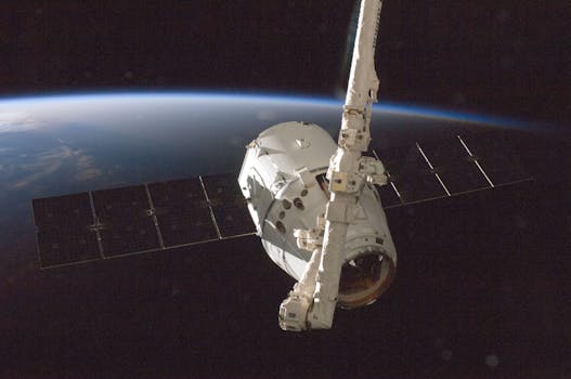
GEO satellites are designed to operate in the geostationary orbit, which is a circular orbit around the Earth at an altitude of approximately 36,000 kilometers. To achieve this orbit, GEO satellites must have a specific velocity and trajectory, which is achieved through a combination of launch vehicle and onboard propulsion systems. Once in orbit, GEO satellites use station-keeping maneuvers to maintain their position and prevent drift.
The design of GEO satellites typically includes a bus, which provides the structural and thermal support for the satellite, and a payload, which includes the instruments and antennas necessary for the satellite’s mission. GEO satellites often have large solar arrays to generate power, as well as complex communication systems to transmit and receive data.
Applications of GEO Satellites
GEO satellites have a wide range of applications, including telecommunications, weather forecasting, Earth observation, and navigation. In the field of telecommunications, GEO satellites are used to provide television broadcasting, internet connectivity, and mobile phone services. Weather forecasting relies heavily on GEO satellites, which provide images of cloud patterns, sea surface temperatures, and other meteorological data.
Earth observation is another significant application of GEO satellites, which provide high-resolution images of the Earth’s surface for applications such as crop monitoring, disaster response, and environmental monitoring. Navigation systems, such as GPS, also rely on GEO satellites to provide location information and timing signals.
Future Developments and Challenges
The future of GEO satellites is expected to be shaped by advancements in technology, changes in market demand, and the increasing use of small satellites and constellation systems. The development of new propulsion systems, such as electric propulsion, is expected to improve the efficiency and lifespan of GEO satellites. The use of 3D printing and other advanced manufacturing techniques is also expected to reduce the cost and increase the reliability of GEO satellites.
However, the GEO satellite industry also faces significant challenges, including the increasing risk of collisions and debris in the geostationary orbit. The growth of small satellites and constellation systems is also expected to increase the complexity of the GEO satellite environment, requiring new technologies and strategies to ensure safe and efficient operations.


