GEO Satellites: Understanding the Technology and Its Applications
GEO satellites play a crucial role in modern telecommunications, providing a wide range of services including television broadcasting, internet connectivity, and mobile communications. In this article, we will delve into the world of GEO satellites, exploring their technology, applications, and significance in the telecommunications industry.
GEO Satellites: Introduction to the Technology
GEO satellites, or Geostationary Earth Orbit satellites, are a type of satellite that orbits the Earth at an altitude of approximately 36,000 kilometers above the equator. At this height, the satellite’s orbital period matches the Earth’s rotational period, allowing it to remain stationary relative to a fixed point on the Earth’s surface. This unique characteristic makes GEO satellites ideal for providing continuous coverage of a specific region, making them a crucial component of modern telecommunications.
The concept of GEO satellites was first proposed by science fiction writer Arthur C. Clarke in 1945, and the first GEO satellite, Syncom 2, was launched in 1963. Since then, the technology has evolved significantly, with thousands of GEO satellites launched into orbit, providing a wide range of services including television broadcasting, internet connectivity, mobile communications, and weather forecasting.
GEO Satellites: Applications and Significance
GEO satellites have a wide range of applications, and their significance in the telecommunications industry cannot be overstated. One of the primary applications of GEO satellites is television broadcasting. Many television channels rely on GEO satellites to transmit their signals to a wide audience, providing entertainment, news, and educational programming to millions of people around the world. In addition to television broadcasting, GEO satellites are also used to provide internet connectivity, particularly in remote or underserved areas where traditional terrestrial infrastructure is lacking.
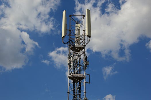
GEO satellites are also used in mobile communications, providing coverage to areas where traditional cellular networks are not available. This is particularly important in emergency situations, such as natural disasters, where traditional communication infrastructure may be damaged or destroyed. Furthermore, GEO satellites are used in weather forecasting, providing critical data on weather patterns and storms, which helps to predict and prepare for severe weather events.
GEO Satellites: Challenges and Future Developments
Despite the many advantages of GEO satellites, there are also several challenges associated with the technology. One of the primary challenges is the risk of satellite collisions, which can result in significant damage to the satellite and potentially even render it inoperable. Additionally, the increasing amount of space debris in Earth’s orbit poses a significant threat to the long-term sustainability of GEO satellites.
Another challenge facing the GEO satellite industry is the growing demand for satellite capacity, which is driving the need for more efficient and effective use of the available spectrum. To address this challenge, satellite operators are turning to new technologies, such as high-throughput satellites (HTS) and very high-throughput satellites (VHTS), which offer significantly higher capacities than traditional GEO satellites.
GEO Satellites: Conclusion
In conclusion, GEO satellites play a vital role in modern telecommunications, providing a wide range of services including television broadcasting, internet connectivity, mobile communications, and weather forecasting. While there are challenges associated with the technology, the industry is continually evolving, with new developments and innovations aimed at improving the efficiency and effectiveness of GEO satellites. As the demand for satellite capacity continues to grow, it is likely that GEO satellites will remain a crucial component of the telecommunications industry for the foreseeable future.


