GEO Satellites: Unlocking the Power of Geostationary Orbit
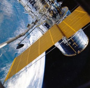
GEO satellites, or geostationary satellites, have been a cornerstone of satellite technology for decades. By orbiting the Earth at an altitude of approximately 36,000 kilometers, these satellites remain stationary relative to a fixed point on the planet, providing a unique range of benefits and applications. In this article, we will delve into the world of GEO satellites, exploring their advantages, applications, and impact on modern society.
What are GEO Satellites?

GEO satellites are a type of artificial satellite that orbits the Earth in a geostationary orbit, which means they remain stationary relative to a fixed point on the planet. This is achieved by placing the satellite at an altitude of approximately 36,000 kilometers, where the orbital period matches the Earth’s rotational period of 24 hours. As a result, GEO satellites appear to be stationary in the sky, providing a constant and reliable signal.
Advantages of GEO Satellites

GEO satellites offer a range of advantages that make them an essential component of modern satellite technology. Some of the key benefits include:
Global coverage: GEO satellites can provide coverage to a significant portion of the Earth’s surface, making them ideal for applications such as telecommunications, weather forecasting, and navigation.
High-gain antennas: The stationary nature of GEO satellites allows for the use of high-gain antennas, which can provide a stronger and more reliable signal.
Continuous operation: GEO satellites can operate continuously, providing a constant stream of data and signals to users on the ground.
Applications of GEO Satellites
GEO satellites have a wide range of applications, including:
Telecommunications: GEO satellites are used to provide telecommunications services such as television broadcasting, telephone connections, and internet access.
Weather forecasting: GEO satellites are used to monitor weather patterns and provide forecasting data, helping to predict and prepare for severe weather events.
Navigation: GEO satellites are used to provide navigation data, including GPS signals, which are essential for modern transportation systems.
The Future of GEO Satellites
As technology continues to evolve, the role of GEO satellites is likely to expand and diversify. Some of the potential developments on the horizon include:
High-throughput satellites: Next-generation GEO satellites are being designed to provide higher throughput and faster data transfer rates, making them ideal for applications such as broadband internet access.
Advanced propulsion systems: New propulsion systems, such as electric propulsion, are being developed to improve the efficiency and lifespan of GEO satellites.
Small satellites: The development of small satellites, such as cubesats, is opening up new opportunities for GEO satellite applications, including constellation-based systems and satellite swarms.
See more: