Eyes in the Sky: Advanced Technologies Transforming Earth Observation
Earth observation has undergone a significant transformation in recent years, thanks to the advent of advanced technologies such as satellite imaging, remote sensing, and artificial intelligence. These technologies have enabled us to monitor and understand our planet in unprecedented detail, with far-reaching implications for fields such as environmental monitoring, natural resource management, and disaster response.
Introduction to Earth Observation

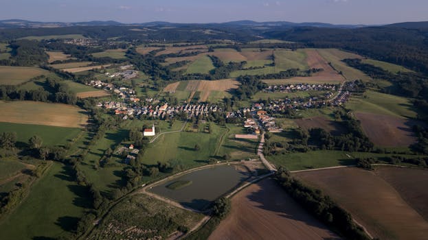
Earth observation involves the use of satellite or aerial platforms to collect data about the Earth’s surface and atmosphere. This data can be used to monitor a wide range of phenomena, including climate change, deforestation, ocean health, and natural disasters. Traditional earth observation methods relied on manual data collection, which was often time-consuming and limited in scope. However, with the advent of advanced technologies, earth observation has become more efficient, accurate, and comprehensive.
Advanced Technologies in Earth Observation

Several advanced technologies are driving the transformation of earth observation. Satellite technology has improved significantly, with higher-resolution imaging and increased sensor capabilities. Remote sensing technologies, such as hyperspectral and radar imaging, enable the collection of detailed data about the Earth’s surface and atmosphere. Artificial intelligence and machine learning algorithms are also being applied to earth observation data, enabling the automated detection of patterns and anomalies.
One of the key technologies driving this transformation is the use of small satellites, also known as CubeSats. These tiny satellites are relatively inexpensive to launch and can be designed to perform specific tasks, such as monitoring ocean health or tracking deforestation. Another important technology is the use of unmanned aerial vehicles (UAVs), or drones, which can be equipped with sensors and cameras to collect high-resolution data about the Earth’s surface.
Applications of Earth Observation
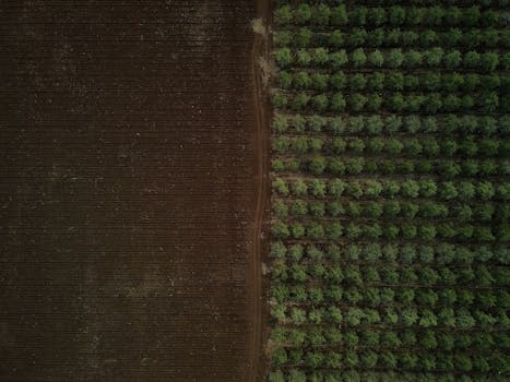
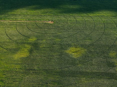
The applications of earth observation are diverse and widespread. In the field of environmental monitoring, earth observation data is used to track climate change, monitor deforestation, and detect ocean pollution. In natural resource management, earth observation data is used to monitor land use, track water resources, and detect mineral deposits. In disaster response, earth observation data is used to assess damage, identify areas of need, and coordinate relief efforts.
Earth observation data is also being used in a variety of other fields, including agriculture, urban planning, and national security. In agriculture, earth observation data is used to monitor crop health, detect pests and diseases, and optimize irrigation. In urban planning, earth observation data is used to monitor urban growth, track transportation patterns, and optimize infrastructure development. In national security, earth observation data is used to monitor borders, detect potential threats, and support military operations.
Conclusion
In conclusion, advanced technologies are transforming earth observation, enabling us to monitor and understand our planet in unprecedented detail. The applications of earth observation are diverse and widespread, with significant implications for fields such as environmental monitoring, natural resource management, and disaster response. As these technologies continue to evolve and improve, we can expect to see even more innovative applications of earth observation in the future.
See more: