How Satellites Monitor Climate Change and Environmental Shifts
Satellites monitor climate change and environmental shifts, playing a vital role in understanding the Earth’s condition and the impacts of human activities on the environment. Satellites have been used for decades to collect data on the Earth’s climate, weather patterns, and natural resources. With the advancement of technology, satellites have become more sophisticated, allowing for more precise and detailed data collection.
Types of Satellites Used for Climate Change Monitoring
There are several types of satellites used for climate change monitoring, including geostationary satellites, polar-orbiting satellites, and constellations of small satellites. Geostationary satellites orbit the Earth at an altitude of approximately 36,000 kilometers, providing continuous coverage of a specific region. Polar-orbiting satellites, on the other hand, orbit the Earth at an altitude of around 800 kilometers, providing global coverage. Constellations of small satellites, such as CubeSats, are also being used to collect data on the Earth’s climate and environment.
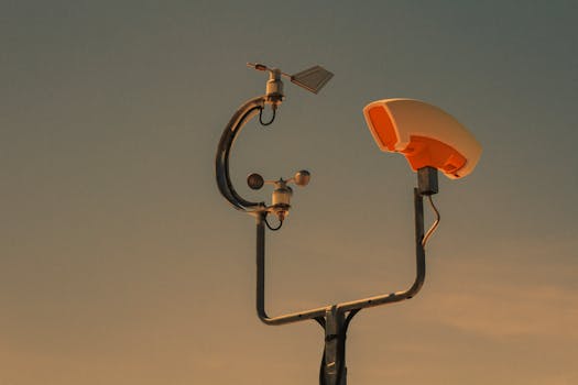
Satellites use a variety of instruments to collect data on the Earth’s climate and environment, including radiometers, spectrometers, and radar systems. These instruments allow satellites to measure parameters such as temperature, humidity, cloud cover, and vegetation health. Satellites also use GPS and other navigation systems to provide precise location and timing data.
Applications of Satellite Data in Climate Change Monitoring
Satellite data has a wide range of applications in climate change monitoring, including weather forecasting, climate modeling, and natural resource management. Satellite data is used to predict weather patterns, track storms, and monitor droughts and floods. Climate models use satellite data to simulate the Earth’s climate system and predict future changes. Satellite data is also used to monitor natural resources, such as forests, oceans, and soil moisture.
Satellite data has also been used to study the impacts of climate change on ecosystems and human societies. For example, satellite data has been used to study the impacts of sea-level rise on coastal communities, the effects of drought on agriculture, and the consequences of deforestation on biodiversity. Satellite data has also been used to monitor the effectiveness of climate change mitigation and adaptation strategies, such as carbon sequestration and disaster risk reduction.
Conclusion
In conclusion, satellites play a crucial role in monitoring climate change and environmental shifts. With the advancement of technology, satellites have become more sophisticated, allowing for more precise and detailed data collection. Satellite data has a wide range of applications in climate change monitoring, including weather forecasting, climate modeling, and natural resource management. As the Earth’s climate continues to change, the importance of satellite data in understanding and mitigating the impacts of climate change will only continue to grow.