How Satellites Monitor Climate Change and Environmental Shifts
How Satellites Monitor Climate Change and Environmental Shifts is a vital component of modern earth observation, allowing us to track changes in the planet’s climate and environment. Satellites have been instrumental in monitoring climate change and environmental shifts, providing valuable data and insights to scientists and policymakers. With the help of satellites, we can track changes in the Earth’s temperature, sea levels, ice coverage, and extreme weather events, among other factors.
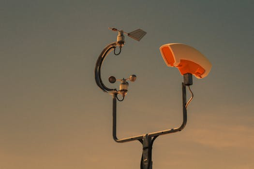
Satellites use a variety of instruments to collect data on the Earth’s climate and environment. These instruments include radiometers, spectrometers, and radar systems, which can measure factors such as temperature, humidity, and wind speed. Satellites can also use optical and infrared sensors to monitor changes in the Earth’s surface, such as deforestation, land use changes, and ocean health.
Types of Satellites Used for Climate Change Monitoring
There are several types of satellites used for climate change monitoring, each with its own unique capabilities and instruments. Some of the most common types of satellites used for climate change monitoring include weather satellites, Earth observation satellites, and remote sensing satellites. Weather satellites, such as geostationary satellites, are used to monitor weather patterns and predict extreme weather events. Earth observation satellites, such as Landsat and MODIS, are used to monitor changes in the Earth’s surface and track factors such as deforestation and land use changes.
Remote sensing satellites, such as radar satellites, are used to monitor changes in the Earth’s surface and subsurface, including factors such as soil moisture and ocean currents. These satellites use radar and other sensors to collect data on the Earth’s surface and subsurface, providing valuable insights into the planet’s climate and environment.
Applications of Satellite Data in Climate Change Monitoring
Satellite data has a wide range of applications in climate change monitoring, from tracking changes in the Earth’s temperature and sea levels to monitoring extreme weather events and predicting future climate scenarios. Satellite data can be used to monitor changes in the Earth’s surface, such as deforestation and land use changes, and to track factors such as ocean health and ice coverage.
Satellite data can also be used to predict future climate scenarios, allowing scientists and policymakers to make informed decisions about climate change mitigation and adaptation strategies. By analyzing satellite data, scientists can identify trends and patterns in the Earth’s climate and environment, providing valuable insights into the impacts of climate change and the effectiveness of climate change mitigation and adaptation strategies.
Conclusion
In conclusion, How Satellites Monitor Climate Change and Environmental Shifts is a vital component of modern earth observation, allowing us to track changes in the planet’s climate and environment. With the help of satellites, we can monitor changes in the Earth’s temperature, sea levels, ice coverage, and extreme weather events, among other factors. The applications of satellite data in climate change monitoring are diverse and widespread, from tracking changes in the Earth’s surface to predicting future climate scenarios. As the planet continues to grapple with the challenges of climate change, the role of satellites in monitoring and understanding the Earth’s climate and environment will only continue to grow in importance.


