Eyes in the Sky: Advanced Technologies Transforming Earth Observation
Eyes in the Sky: Advanced Technologies Transforming Earth Observation. The field of Earth observation has undergone a significant transformation in recent years, thanks to the advent of advanced technologies such as satellite imaging, remote sensing, and artificial intelligence. These technologies have enabled us to monitor and understand our planet in unprecedented detail, with far-reaching implications for fields such as environmental monitoring, urban planning, and disaster response.
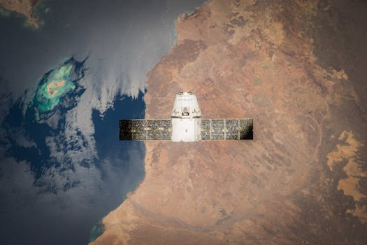
The use of satellite technology has been a key driver of this transformation. Satellites in orbit around the Earth can collect vast amounts of data about our planet, including high-resolution images, temperature readings, and atmospheric conditions. This data can be used to track changes in the environment, monitor weather patterns, and predict natural disasters such as hurricanes and wildfires. For example, the NASA Earth Observing System (EOS) is a network of satellites that provide critical data about the Earth’s climate, weather, and natural resources.
Remote Sensing and Artificial Intelligence
Remote sensing is another critical technology in the field of Earth observation. This involves the use of sensors to collect data about the Earth’s surface, without physically touching it. Remote sensing can be used to gather data about soil moisture, crop health, and forest cover, among other things. The integration of remote sensing with artificial intelligence (AI) has taken Earth observation to the next level. AI algorithms can be used to analyze vast amounts of data collected by satellites and remote sensors, identifying patterns and trends that may not be apparent to the human eye.
For instance, AI-powered remote sensing can be used to monitor deforestation and habitat destruction, allowing conservation efforts to be targeted more effectively. Similarly, AI-powered satellite imaging can be used to track the movement of ocean currents and predict the formation of hurricanes. The European Space Agency’s (ESA) Sentinel-2 satellite is a prime example of how remote sensing and AI can be combined to monitor land use and land cover changes.
Applications of Earth Observation
The applications of Earth observation are diverse and widespread. In the field of environmental monitoring, Earth observation can be used to track changes in air and water quality, monitor the health of ecosystems, and predict the impacts of climate change. In urban planning, Earth observation can be used to monitor population growth, track urban sprawl, and optimize transportation systems. In disaster response, Earth observation can be used to assess damage, coordinate relief efforts, and predict the likelihood of future disasters.
For example, the use of satellite imaging and remote sensing can help emergency responders to identify areas of damage and prioritize relief efforts after a natural disaster. The United Nations Office for Disaster Risk Reduction (UNDRR) has developed a number of initiatives that use Earth observation to reduce the risk of disasters and promote sustainable development.
Conclusion
In conclusion, Eyes in the Sky: Advanced Technologies Transforming Earth Observation. The field of Earth observation has undergone a significant transformation in recent years, thanks to the advent of advanced technologies such as satellite imaging, remote sensing, and artificial intelligence. These technologies have enabled us to monitor and understand our planet in unprecedented detail, with far-reaching implications for fields such as environmental monitoring, urban planning, and disaster response. As the field of Earth observation continues to evolve, it is likely that we will see even more innovative applications of these technologies in the future.


