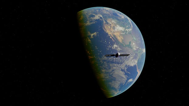
High-Tech Horizons: The Evolution of Earth-Orbiting Technologies for Observation
High-Tech Horizons: The Evolution of Earth-Orbiting Technologies for Observation has been a game-changer in the field of observation, enabling us to monitor the planet like never before. The ability to launch satellites into orbit has given us a new perspective on the Earth, allowing us to study the planet in unprecedented detail. From monitoring weather patterns to tracking deforestation, earth-orbiting technologies have become an essential tool for understanding our planet.
Early Beginnings: The First Earth-Orbiting Satellites
The first earth-orbiting satellite, Sputnik 1, was launched by the Soviet Union in 1957. This small, beach-ball-sized satellite marked the beginning of the space age, and paved the way for the development of more advanced earth-orbiting technologies. The United States soon followed with the launch of Explorer 1 in 1958, which discovered the Van Allen radiation belt and provided valuable insights into the Earth’s magnetic field.
Advances in Satellite Imaging: From Black and White to High-Definition

The first satellite images of the Earth were captured by the TIROS-1 satellite in 1960. These early images were black and white, and had a resolution of approximately 1 mile. However, with advancements in technology, satellite imaging has become increasingly sophisticated. Modern satellites can capture high-definition images of the Earth, with resolutions as high as 10 inches. This has enabled us to study the planet in unprecedented detail, from monitoring crop health to tracking urbanization.
Modern Applications: From Environmental Monitoring to Disaster Response

Today, earth-orbiting technologies are used in a wide range of applications, from environmental monitoring to disaster response. Satellites are used to track deforestation, monitor ocean health, and study the impacts of climate change. They are also used to provide critical information during natural disasters, such as hurricanes and wildfires. For example, satellite imagery was used to track the spread of wildfires in Australia in 2019, and to identify areas of need during the response efforts.
Future Developments: The Next Generation of Earth-Orbiting Technologies

As technology continues to evolve, we can expect to see even more advanced earth-orbiting technologies in the future. One area of development is the use of small satellites, also known as cubesats. These tiny satellites are inexpensive to launch and can be used to gather data on specific topics, such as weather patterns or ocean health. Another area of development is the use of satellite constellations, which involve launching multiple satellites into orbit to provide continuous coverage of the Earth.
Conclusion

In conclusion, the evolution of earth-orbiting technologies has revolutionized the field of observation, enabling us to monitor the planet like never before. From satellite imaging to space exploration, these technologies have become an essential tool for understanding our planet. As technology continues to evolve, we can expect to see even more advanced earth-orbiting technologies in the future, enabling us to study the Earth in unprecedented detail and address some of the most pressing challenges facing our planet.
See more: