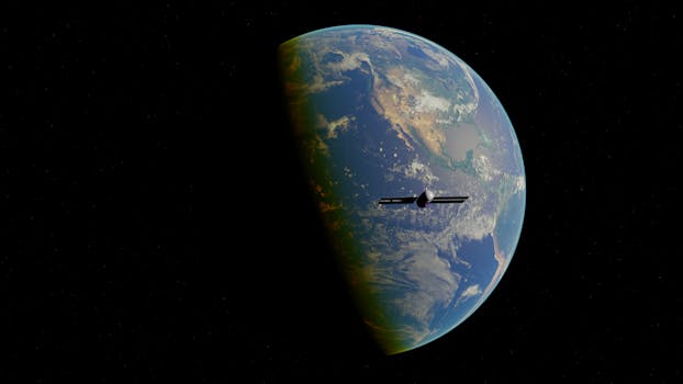
Orbiting Innovations: Exploring the Latest in Earth-Observing Technology
Orbiting Innovations: Exploring the Latest in Earth-Observing Technology has revolutionized the way we understand our planet. With the ability to collect vast amounts of data from space, scientists and researchers can now study the Earth’s surface, atmosphere, and oceans in unprecedented detail.
The latest advancements in Earth-observing technology have led to the development of high-resolution satellite imaging systems, capable of capturing detailed images of the Earth’s surface. These images have numerous applications, including monitoring climate change, tracking natural disasters, and managing natural resources. For instance, satellite imaging has been used to monitor deforestation, track ocean currents, and predict weather patterns.
Advances in Satellite Technology
One of the key drivers of innovation in Earth-observing technology is the advancement of satellite technology. Modern satellites are equipped with sophisticated sensors and instruments that can collect a wide range of data, from visible and infrared imagery to radar and lidar measurements. These data are then transmitted back to Earth, where they can be analyzed and used to gain insights into the Earth’s systems.
For example, the European Space Agency’s (ESA) Sentinel-2 satellite is equipped with a multispectral instrument that can collect high-resolution images of the Earth’s surface. These images have been used to monitor crop health, track changes in land use, and detect natural disasters such as floods and wildfires. Similarly, the NASA’s Landsat 8 satellite has been used to study the Earth’s surface, including monitoring water quality, tracking changes in glaciers, and mapping urban expansion.
Applications of Earth-Observing Technology
Earth-observing technology has a wide range of applications, from environmental monitoring to natural resource management. For instance, satellite imaging has been used to monitor climate change, including tracking changes in sea level, ice sheet coverage, and ocean currents. Additionally, Earth-observing technology has been used to predict and respond to natural disasters, such as hurricanes, wildfires, and floods.
Earth-observing technology also has numerous applications in the field of agriculture. Satellite imaging can be used to monitor crop health, predict crop yields, and optimize irrigation systems. For example, the ESA’s Sentinel-1 satellite has been used to monitor soil moisture, allowing farmers to optimize their irrigation systems and reduce water waste. Similarly, the NASA’s SMAP satellite has been used to monitor soil moisture, helping farmers to predict crop yields and optimize their harvests.
Conclusion
In conclusion, Orbiting Innovations: Exploring the Latest in Earth-Observing Technology has the potential to revolutionize the way we understand our planet. With the ability to collect vast amounts of data from space, scientists and researchers can now study the Earth’s surface, atmosphere, and oceans in unprecedented detail. As technology continues to advance, we can expect to see even more innovative applications of Earth-observing technology, from environmental monitoring to natural resource management.