High-Tech Horizons: The Evolution of Earth-Orbiting Technologies for Observation
High-Tech Horizons: The Evolution of Earth-Orbiting Technologies for Observation has been a game-changer in the field of space exploration, enabling us to observe and understand our planet like never before. With the advent of advanced satellite technologies, we can now collect vast amounts of data and imagery, shedding light on the intricate dynamics of our planet. In this article, we will delve into the evolution of earth-orbiting technologies and their profound impact on our understanding of the Earth.
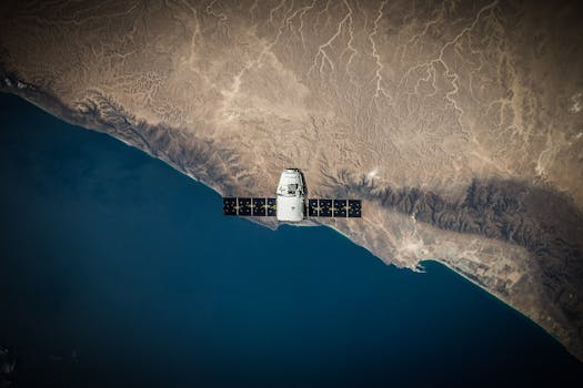
The first earth-orbiting satellite, Sputnik 1, was launched by the Soviet Union in 1957, marking the beginning of a new era in space exploration. Since then, numerous satellites have been launched, each with unique capabilities and objectives. The early satellites were primarily used for military and communications purposes, but as technology advanced, their applications expanded to include scientific research, weather forecasting, and Earth observation.
The Advent of Remote Sensing
One of the most significant developments in earth-orbiting technologies is the advent of remote sensing. Remote sensing involves the use of satellite-based sensors to collect data about the Earth’s surface and atmosphere. This technology has enabled us to monitor environmental changes, track weather patterns, and predict natural disasters. The Landsat program, launched in 1972, was one of the first remote sensing missions, providing valuable data on land use, land cover, and natural resources.
The proliferation of remote sensing technologies has led to a plethora of applications, including crop monitoring, disaster response, and climate modeling. For instance, the Moderate Resolution Imaging Spectroradiometer (MODIS) instrument on board the Terra and Aqua satellites has been instrumental in monitoring global vegetation health, ocean productivity, and atmospheric conditions.
Advances in Satellite Imagery
Recent advances in satellite imagery have further enhanced our ability to observe the Earth. High-resolution imaging sensors, such as those on board the WorldView-4 and GeoEye-1 satellites, can capture images with resolutions of up to 41 cm, allowing for detailed analysis of urban planning, infrastructure development, and environmental monitoring. The proliferation of small satellites, also known as CubeSats, has also democratized access to space, enabling universities, startups, and governments to launch their own satellites and collect data on a range of topics.
The integration of artificial intelligence (AI) and machine learning (ML) algorithms with satellite imagery has also opened up new avenues for data analysis and interpretation. AI-powered systems can quickly process vast amounts of satellite data, identifying patterns and anomalies that may elude human analysts. This synergy between satellite technology and AI has the potential to revolutionize fields such as precision agriculture, disaster response, and climate modeling.
Conclusion
In conclusion, the evolution of earth-orbiting technologies has been a transformative force in our understanding of the planet. From the early days of Sputnik 1 to the current era of high-resolution satellite imagery and AI-powered data analysis, these technologies have enabled us to observe and understand the Earth in unprecedented detail. As we continue to push the boundaries of space exploration and satellite technology, we can expect even more exciting developments in the field of earth-orbiting technologies, ultimately leading to a better understanding of our planet and its complex systems.


