GEO Satellites: Understanding the Technology and Applications of Geostationary Orbit Satellites
GEO satellites are a crucial part of modern satellite technology, providing a wide range of applications including telecommunications, weather forecasting, and navigation. In this article, we will delve into the world of GEO satellites, exploring their history, technology, and applications.
GEO Satellites: Understanding the Technology and Applications of Geostationary Orbit Satellites
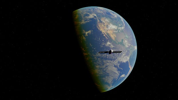
GEO satellites, or Geostationary Orbit satellites, are a type of satellite that orbits the Earth at an altitude of approximately 36,000 kilometers, remaining stationary relative to a fixed point on the Earth’s surface. This unique characteristic allows GEO satellites to provide a wide range of applications, including telecommunications, weather forecasting, and navigation. In this article, we will explore the history, technology, and applications of GEO satellites, highlighting their importance in modern satellite technology.
History of GEO Satellites
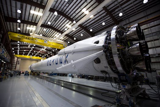
The concept of GEO satellites was first proposed by science fiction writer Arthur C. Clarke in 1945. However, it wasn’t until the 1960s that the first GEO satellite, Syncom 2, was launched. Since then, thousands of GEO satellites have been launched, with many more planned for the future. The development of GEO satellites has been driven by advances in technology, including improvements in rocketry, materials science, and electronics.
Technology of GEO Satellites

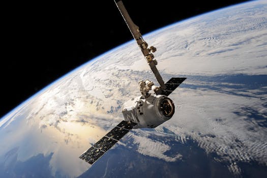
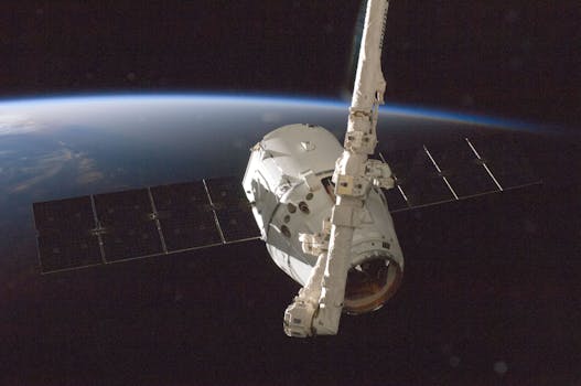
GEO satellites are designed to operate in the harsh environment of space, where temperatures can range from -270°C to 120°C. They are typically equipped with solar panels to generate power, as well as propulsion systems to maintain their orbit and attitude. GEO satellites also require sophisticated communication systems, including transponders and antennas, to transmit and receive data. The technology used in GEO satellites is constantly evolving, with advances in areas such as propulsion systems, power generation, and materials science.
Applications of GEO Satellites
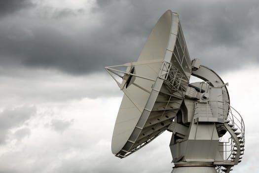
GEO satellites have a wide range of applications, including telecommunications, weather forecasting, and navigation. They are used to provide television broadcasts, internet connectivity, and mobile phone services to remote and underserved areas. GEO satellites are also used to monitor the weather, providing critical data for forecasting and storm tracking. Additionally, they are used in navigation systems, such as GPS, to provide location and timing information. Other applications of GEO satellites include Earth observation, space exploration, and scientific research.
Future of GEO Satellites
The future of GEO satellites is exciting and rapidly evolving. With advances in technology, new applications and services are emerging, such as high-throughput satellites and satellite-based internet services. The development of new propulsion systems, such as electric propulsion, is also expected to improve the efficiency and lifespan of GEO satellites. As the demand for satellite services continues to grow, the importance of GEO satellites will only continue to increase, driving innovation and investment in the field.
See more: