GEO Satellites: Understanding the Technology and Applications of Geostationary Satellites
GEO Satellites: Understanding the Technology and Applications of Geostationary Satellites
GEO satellites, or geostationary satellites, have revolutionized the way we communicate, navigate, and predict the weather. With their unique ability to remain stationary in the sky, GEO satellites have become an essential component of modern telecommunications, navigation, and weather forecasting systems. In this article, we will explore the history, design, and applications of GEO satellites, as well as their impact on various industries.
History of GEO Satellites
The concept of GEO satellites was first proposed by scientist Arthur C. Clarke in 1945. However, it wasn’t until the 1960s that the first GEO satellite, Syncom 2, was launched into space. Since then, numerous GEO satellites have been launched, providing a wide range of services including telecommunications, navigation, and weather forecasting. Today, there are over 500 GEO satellites in orbit around the Earth, with many more planned for launch in the coming years.
Design and Technology of GEO Satellites
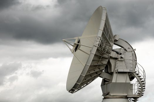
GEO satellites are designed to operate in a geostationary orbit, which is approximately 36,000 kilometers above the equator. At this altitude, the satellite’s orbital period matches the Earth’s rotational period, allowing it to remain stationary in the sky. GEO satellites are typically equipped with a range of instruments, including transponders, antennas, and solar panels. They are also designed to be highly reliable, with some satellites operating for over 20 years in space.
Applications of GEO Satellites
GEO satellites have a wide range of applications, including telecommunications, navigation, and weather forecasting. In telecommunications, GEO satellites are used to provide broadband internet, television broadcasting, and mobile phone services. In navigation, GEO satellites are used to provide location information and timing signals, which are essential for modern transportation systems. In weather forecasting, GEO satellites are used to monitor cloud patterns, track storms, and predict weather patterns.
Impact of GEO Satellites on Various Industries
The impact of GEO satellites on various industries has been significant. In the telecommunications industry, GEO satellites have enabled the provision of broadband internet and mobile phone services to remote and underserved communities. In the navigation industry, GEO satellites have enabled the development of modern navigation systems, including GPS and Galileo. In the weather forecasting industry, GEO satellites have enabled the development of more accurate weather forecasting models, which have saved countless lives and prevented significant economic losses.


