GEO Satellites: Unlocking the Power of Geostationary Orbit
GEO Satellites: Unlocking the Power of Geostationary Orbit
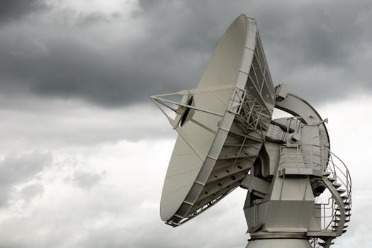
GEO satellites, or Geostationary satellites, are a type of satellite that orbits the Earth at an altitude of approximately 36,000 kilometers, allowing them to remain stationary in the sky relative to a specific point on the Earth’s surface. This unique characteristic makes them ideal for a variety of applications, including telecommunications, weather forecasting, and navigation. In this article, we will delve into the world of GEO satellites, their history, benefits, and applications, starting with the GEO satellites technology and its significance in the modern world.
A Brief History of GEO Satellites
The concept of GEO satellites was first proposed by scientist Arthur C. Clarke in 1945, who envisioned a network of satellites in geostationary orbit that could provide global telecommunications services. The first GEO satellite, Syncom 2, was launched by NASA in 1963, and it successfully demonstrated the feasibility of geostationary orbit. Since then, hundreds of GEO satellites have been launched, with many more planned for the future.
Benefits of GEO Satellites
GEO satellites offer several benefits that make them a crucial part of modern satellite technology. One of the primary advantages is their ability to provide continuous coverage of a specific region, making them ideal for telecommunications, broadcasting, and weather forecasting applications. Additionally, GEO satellites can be used to provide navigation services, such as GPS, which rely on a network of satellites in medium Earth orbit, but can also be augmented by GEO satellites.
Applications of GEO Satellites
GEO satellites have a wide range of applications, including telecommunications, weather forecasting, navigation, and Earth observation. In the field of telecommunications, GEO satellites are used to provide broadband internet services, mobile phone networks, and television broadcasting. Weather forecasting is another significant application of GEO satellites, as they can provide high-resolution images of cloud patterns, storms, and other weather phenomena. Navigation is also a critical application, as GEO satellites can be used to provide location information and timing signals.
Challenges and Limitations of GEO Satellites
Despite their many benefits, GEO satellites also face several challenges and limitations. One of the primary concerns is the risk of collisions with other satellites or space debris, which can cause significant damage or even complete loss of the satellite. Additionally, GEO satellites are vulnerable to solar flares and other forms of space weather, which can disrupt their operations. Finally, the high cost of launching and maintaining GEO satellites is a significant barrier to entry for many organizations.
In conclusion, GEO satellites are a vital part of modern satellite technology, providing a wide range of services that are essential to our daily lives. From telecommunications and weather forecasting to navigation and Earth observation, GEO satellites play a critical role in many applications. As the demand for satellite services continues to grow, it is likely that we will see even more innovative uses of GEO satellites in the future.


