GEO Satellites: Unlocking the Power of Geostationary Orbit
GEO satellites are a crucial part of modern telecommunications, providing a wide range of services including television broadcasting, telecommunications, and weather forecasting. In this article, we will delve into the world of GEO satellites, exploring their history, technology, and applications.
GEO Satellites: Unlocking the Power of Geostationary Orbit
GEO satellites, or Geostationary satellites, are a type of satellite that orbits the Earth at an altitude of approximately 36,000 kilometers, remaining stationary relative to a fixed point on the planet. This unique characteristic allows GEO satellites to provide a wide range of services, including television broadcasting, telecommunications, and weather forecasting. In this article, we will explore the history, technology, and applications of GEO satellites, and examine their impact on modern society.
History of GEO Satellites
The concept of a geostationary satellite was first proposed by science fiction writer Arthur C. Clarke in 1945. However, it wasn’t until the 1960s that the technology to launch and operate a GEO satellite became available. The first GEO satellite, Syncom 2, was launched by NASA in 1963, and was used to test the feasibility of geostationary orbit. Since then, thousands of GEO satellites have been launched, providing a wide range of services to people around the world.
Technology and Applications
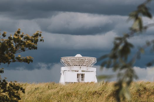
GEO satellites use a combination of solar panels and batteries to generate power, and are equipped with advanced communication equipment, including transponders, antennas, and receivers. They are typically launched into geostationary orbit using a powerful rocket, such as the Ariane 5 or the Atlas V. Once in orbit, GEO satellites are able to provide a wide range of services, including television broadcasting, telecommunications, and weather forecasting. They are also used for navigation, such as GPS, and for scientific research, such as Earth observation and space weather monitoring.
Applications of GEO Satellites
GEO satellites have a wide range of applications, including television broadcasting, telecommunications, and weather forecasting. They are also used for navigation, such as GPS, and for scientific research, such as Earth observation and space weather monitoring. In addition, GEO satellites are used for military communications, and for providing internet connectivity to remote and underserved areas. They are also used for search and rescue operations, and for monitoring the environment, such as tracking hurricanes and wildfires.
Future of GEO Satellites
The future of GEO satellites is exciting and rapidly evolving. With the development of new technologies, such as high-throughput satellites and advanced propulsion systems, GEO satellites are becoming more powerful and efficient. They are also being used for new and innovative applications, such as providing internet connectivity to the developing world, and for monitoring the environment. As the demand for satellite services continues to grow, the importance of GEO satellites will only continue to increase, playing a vital role in shaping the future of modern telecommunications and beyond.


