GEO Satellites: Understanding the Technology and Applications
GEO Satellites: Understanding the Technology and Applications
GEO satellites, or Geostationary Earth Orbit satellites, are a type of satellite that orbits the Earth at an altitude of approximately 36,000 kilometers, remaining stationary relative to a fixed point on the equator. GEO satellites have been a cornerstone of modern telecommunications, providing global coverage and enabling a wide range of applications, from television broadcasting to satellite communications.
The concept of GEO satellites was first proposed by science fiction writer Arthur C. Clarke in 1945, and the first GEO satellite, Syncom 2, was launched in 1963. Since then, the technology has evolved significantly, with advancements in materials, propulsion systems, and electronics. Today, GEO satellites are used for a variety of purposes, including television broadcasting, telecommunications, weather forecasting, and navigation.
Design and Technology
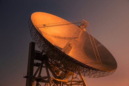
GEO satellites are designed to operate in the geostationary orbit, which provides a unique set of challenges and opportunities. The satellite must be able to withstand the harsh conditions of space, including extreme temperatures, radiation, and debris. The design of a GEO satellite typically consists of a platform, payload, and propulsion system. The platform provides the structural support and houses the payload, which includes the communications equipment, antennas, and other sensors. The propulsion system is used to maintain the satellite’s position and altitude.
The payload of a GEO satellite is typically composed of a range of instruments and equipment, including transponders, antennas, and receivers. The transponders are used to amplify and retransmit signals, while the antennas are used to receive and transmit signals. The receivers are used to detect and process the signals, which are then transmitted back to Earth.
Applications and Impact
GEO satellites have a significant impact on modern telecommunications, providing global coverage and enabling a wide range of applications. One of the primary applications of GEO satellites is television broadcasting, which allows for the transmission of signals to a wide audience. GEO satellites are also used for satellite communications, providing connectivity to remote and underserved areas.
In addition to telecommunications, GEO satellites are used for weather forecasting, navigation, and Earth observation. The satellites are equipped with sensors and instruments that can detect changes in the atmosphere, oceans, and land surfaces, providing valuable data for weather forecasting and climate monitoring. The satellites are also used for navigation, providing location information and timing signals for GPS and other navigation systems.
Future Developments and Challenges
The future of GEO satellites is likely to be shaped by advancements in technology and changes in the industry. One of the major challenges facing the industry is the increasing demand for bandwidth and capacity, which is driving the development of new technologies and architectures. The use of high-throughput satellites, which can provide higher capacities and faster data rates, is becoming increasingly popular.
Another challenge facing the industry is the issue of space debris, which is a growing concern for satellite operators and regulators. The increasing number of satellites in orbit is creating a risk of collisions and interference, which can have significant consequences for the industry. To address this issue, satellite operators and regulators are working together to develop new guidelines and regulations for the responsible use of space.


