GEO Satellites: Unlocking the Power of Geostationary Orbit
GEO Satellites: Unlocking the Power of Geostationary Orbit
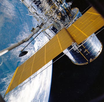
GEO satellites, or Geostationary satellites, are a type of satellite that orbits the Earth at an altitude of approximately 36,000 kilometers, which is about 1/10 of the distance between the Earth and the Moon. This unique orbit allows GEO satellites to remain stationary relative to a fixed point on the Earth’s surface, making them ideal for a variety of applications, including telecommunications, weather forecasting, and navigation.
History of GEO Satellites
The concept of GEO satellites dates back to the 1940s, when science fiction writer Arthur C. Clarke first proposed the idea of using satellites in geostationary orbit for telecommunications. The first GEO satellite, Syncom 2, was launched in 1963 by NASA, and it paved the way for the development of modern GEO satellites. Today, there are hundreds of GEO satellites in orbit, providing a wide range of services and applications.
How GEO Satellites Work
GEO satellites work by transmitting and receiving signals to and from Earth stations, which are specialized antennas that communicate with the satellite. The signals are transmitted through a process called frequency modulation, where the signal is modulated onto a carrier wave at a specific frequency. The satellite then amplifies the signal and re-transmits it back to Earth, where it is received by another Earth station. This process allows for the transmission of data, voice, and video signals over long distances, making GEO satellites a crucial part of modern telecommunications.
Applications of GEO Satellites
GEO satellites have a wide range of applications, including telecommunications, weather forecasting, navigation, and more. In the field of telecommunications, GEO satellites are used for television broadcasting, internet connectivity, and mobile phone networks. They are also used for weather forecasting, providing images of the Earth’s surface and atmosphere that help meteorologists predict weather patterns. Additionally, GEO satellites are used for navigation, providing location information and timing signals for GPS and other navigation systems.


