GEO Satellites: Understanding the Technology and Applications of Geostationary Orbit Satellites
GEO satellites, short for Geostationary Orbit satellites, are a type of satellite that orbits the Earth at an altitude of approximately 35,786 kilometers, remaining stationary relative to a fixed point on the equator. This unique characteristic makes them ideal for various applications, including telecommunications, weather forecasting, and Earth observation.
GEO Satellites: Understanding the Technology and Applications of Geostationary Orbit Satellites
GEO satellites, short for Geostationary Orbit satellites, are a type of satellite that orbits the Earth at an altitude of approximately 35,786 kilometers, remaining stationary relative to a fixed point on the equator. This unique characteristic makes them ideal for various applications, including telecommunications, weather forecasting, and Earth observation. In this article, we will delve into the world of GEO satellites, exploring their history, technology, and applications.
History of GEO Satellites
The concept of GEO satellites was first proposed by scientist Arthur C. Clarke in 1945. Clarke, a British engineer and science fiction author, suggested that a satellite in geostationary orbit could be used for telecommunications, providing a stationary platform for transmitting signals across the globe. The first GEO satellite, Syncom 2, was launched by NASA in 1963, and it paved the way for the development of modern GEO satellites.
Technology and Design
GEO satellites are designed to operate in the geostationary orbit, which is approximately 35,786 kilometers above the equator. At this altitude, the satellite’s orbital period matches the Earth’s rotational period, allowing it to remain stationary relative to a fixed point on the equator. GEO satellites are typically equipped with a range of instruments, including transponders, antennas, and solar panels. The transponders receive and retransmit signals, while the antennas transmit and receive data. Solar panels provide power to the satellite, allowing it to operate for extended periods.
Applications of GEO Satellites
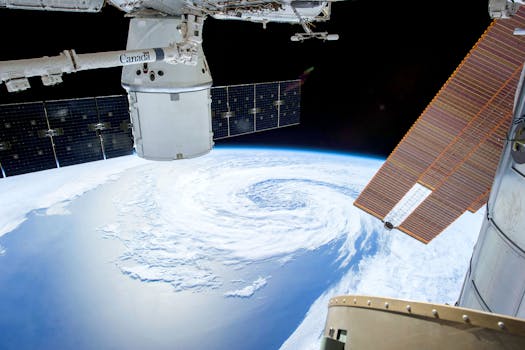
GEO satellites have a wide range of applications, including telecommunications, weather forecasting, and Earth observation. In telecommunications, GEO satellites are used to provide internet connectivity, television broadcasting, and mobile phone services. They are also used for navigation, providing location information and timing signals. In weather forecasting, GEO satellites are used to monitor cloud patterns, track storms, and predict weather patterns. Earth observation satellites use instruments such as cameras and spectrometers to study the Earth’s surface, monitoring changes in the environment and tracking natural disasters.
Future Developments and Challenges
As technology advances, GEO satellites are becoming more sophisticated, with improved instruments and increased capabilities. The development of new technologies, such as high-throughput satellites and phased arrays, is enabling GEO satellites to provide faster and more reliable services. However, the increasing number of satellites in orbit is also creating challenges, including congestion and interference. Additionally, the risk of collisions and space debris is becoming a major concern, highlighting the need for sustainable and responsible satellite operations.


