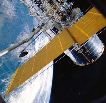
GEO Satellites: Understanding the Technology and Applications of Geostationary Orbit

GEO Satellites: Understanding the Technology and Applications of Geostationary Orbit
GEO satellites, or Geostationary Earth Orbit satellites, are a type of satellite that orbits the Earth at an altitude of approximately 35,786 kilometers above the equator. At this height, the satellite’s orbital period matches the Earth’s rotational period, allowing it to remain stationary relative to a fixed point on the Earth’s surface. GEO satellites have become an essential part of modern telecommunications, navigation, and weather forecasting, and their applications continue to expand into various industries.
The concept of geostationary orbit was first proposed by science fiction writer Arthur C. Clarke in 1945. However, it wasn’t until the launch of the first geostationary satellite, Syncom 2, in 1963 that the technology began to take shape. Since then, numerous GEO satellites have been launched, providing a wide range of services including television broadcasting, telecommunications, and weather forecasting.
How GEO Satellites Work
GEO satellites are equipped with transponders that receive signals from Earth stations and retransmit them back to other Earth stations. The signals are transmitted through a large antenna on the satellite, which is typically pointed towards the Earth. The satellite’s transmitter amplifies the signal and sends it back to Earth, where it is received by another Earth station. This process allows for communication between two distant points on the Earth’s surface.
GEO satellites are also used for navigation purposes. The Global Positioning System (GPS) relies on a network of GEO satellites to provide location information to GPS receivers on the ground. The satellites transmit signals that contain their location and the current time, allowing GPS receivers to calculate their own location and velocity.
Applications of GEO Satellites
The applications of GEO satellites are diverse and continue to expand. Some of the most significant applications include:
Telecommunications: GEO satellites provide a means of communication between two distant points on the Earth’s surface. They are used for telephone, internet, and television broadcasting, as well as for data transmission and remote sensing.
Navigation: As mentioned earlier, GEO satellites are used for navigation purposes, providing location information to GPS receivers on the ground.
Weather Forecasting: GEO satellites are used to monitor the weather and provide forecasts. They can detect changes in the atmosphere and ocean currents, allowing for more accurate weather predictions.
Earth Observation: GEO satellites are used to monitor the Earth’s surface and atmosphere. They can detect changes in the environment, such as deforestation, pollution, and climate change.
Challenges and Limitations of GEO Satellites
While GEO satellites have numerous applications, they also face several challenges and limitations. One of the main challenges is the high cost of launching and maintaining a GEO satellite. The process of launching a satellite into geostationary orbit is complex and expensive, and the satellite must be designed to withstand the harsh conditions of space.
Another challenge faced by GEO satellites is the limited availability of orbital slots. The geostationary orbit is a relatively narrow ring around the Earth, and the number of available orbital slots is limited. This has led to a increase in the cost of orbital slots, making it more difficult for new satellites to be launched.
Finally, GEO satellites are also limited by their distance from the Earth. The signal latency between the satellite and the Earth station can be significant, which can affect the quality of the signal. This can be a problem for applications that require real-time communication, such as video conferencing or online gaming.
Conclusion
In conclusion, GEO satellites play a crucial role in modern telecommunications, navigation, and weather forecasting. Their applications continue to expand into various industries, and they have become an essential part of our daily lives. However, they also face several challenges and limitations, including the high cost of launching and maintaining a satellite, the limited availability of orbital slots, and the signal latency between the satellite and the Earth station. Despite these challenges, the technology continues to evolve, and new innovations are being developed to improve the performance and capabilities of GEO satellites.


