GEO Satellites: Revolutionizing Global Communications and Navigation
GEO Satellites
GEO satellites, or Geostationary Earth Orbit satellites, are a type of satellite that orbits the Earth at an altitude of approximately 36,000 kilometers above the equator. At this altitude, the satellite’s orbital period matches the Earth’s rotational period, allowing it to remain stationary relative to a fixed point on the Earth’s surface. This unique characteristic makes GEO satellites ideal for a wide range of applications, including global communications, navigation, and weather forecasting.
The first GEO satellite was launched in 1963, and since then, hundreds of GEO satellites have been launched into orbit, providing a vast array of services and applications. Today, GEO satellites play a critical role in global communications, enabling the transmission of data, voice, and video signals across the globe. They are also used for navigation, providing location information and timing signals for a wide range of applications, including aviation, maritime, and land transportation.
How GEO Satellites Work
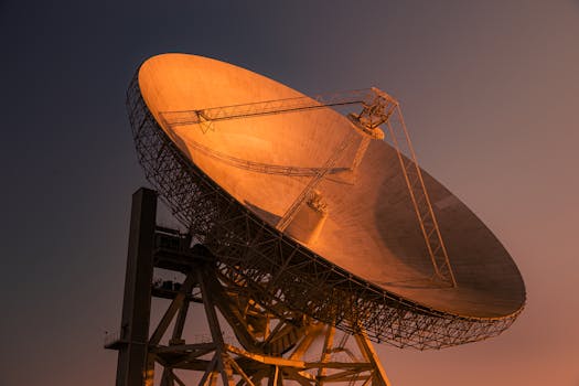
GEO satellites work by transmitting and receiving signals to and from Earth stations, which are located on the ground. The signals are transmitted to the satellite, which then amplifies and re-transmits them back to Earth, allowing them to be received by other Earth stations. This process allows for the transmission of data, voice, and video signals across the globe, enabling global communications and navigation.
The signals transmitted by GEO satellites are typically in the C-band, Ku-band, or Ka-band frequency ranges, which are allocated for satellite communications. The choice of frequency band depends on the application and the requirements of the service. For example, the C-band is often used for television broadcasting, while the Ku-band is used for telecommunications and internet services.
Applications of GEO Satellites
GEO satellites have a wide range of applications, including global communications, navigation, weather forecasting, and Earth observation. They are used for television broadcasting, telecommunications, internet services, and data transmission, as well as for navigation, providing location information and timing signals for aviation, maritime, and land transportation.
In addition to these applications, GEO satellites are also used for weather forecasting, providing images and data on cloud patterns, precipitation, and other weather-related phenomena. They are also used for Earth observation, providing images and data on the Earth’s surface, including land use, deforestation, and ocean currents.
Benefits of GEO Satellites
The benefits of GEO satellites are numerous and significant. They provide global coverage, enabling communications and navigation services to be provided across the globe. They are also highly reliable, with many GEO satellites operating for 15 years or more. Additionally, GEO satellites are relatively low-cost, compared to other types of satellites, making them an attractive option for a wide range of applications.
Furthermore, GEO satellites are highly flexible, allowing them to be used for a wide range of applications and services. They can be used for television broadcasting, telecommunications, internet services, and data transmission, as well as for navigation, weather forecasting, and Earth observation.