GEO Satellites: Understanding the Technology and Applications
GEO satellites, or Geostationary Earth Orbit satellites, are a type of satellite that orbits the Earth at an altitude of approximately 36,000 kilometers, remaining stationary relative to a fixed point on the equator. This unique orbit allows GEO satellites to provide continuous coverage of a specific region, making them ideal for a wide range of applications, including telecommunications, weather forecasting, and navigation.
The concept of GEO satellites was first proposed by scientist Arthur C. Clarke in 1945, and the first GEO satellite, Syncom 2, was launched in 1963. Since then, hundreds of GEO satellites have been launched, providing essential services to people around the world. GEO satellites are designed to operate for up to 15 years or more, with some satellites remaining in service for over 20 years.
Design and Technology
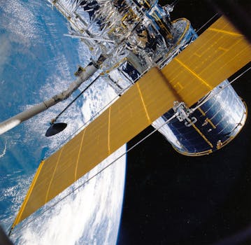
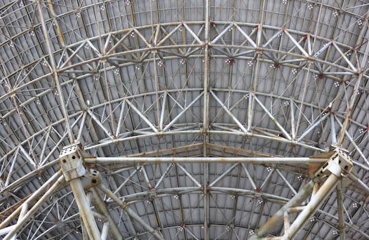
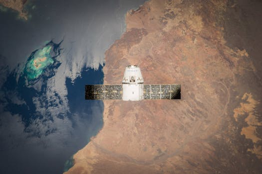
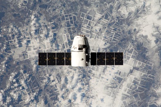
GEO satellites are designed to withstand the harsh conditions of space, including extreme temperatures, radiation, and debris. They are typically equipped with solar panels to generate power, as well as propulsion systems to maintain their orbit and attitude. The satellite’s payload, which includes the communications equipment, is designed to provide specific services, such as television broadcasting, telecommunications, or weather forecasting.
One of the key technologies used in GEO satellites is the transponder, which is a device that receives and retransmits signals. Transponders are used to amplify and retransmit signals, allowing them to travel long distances without degrading. GEO satellites typically have multiple transponders, each operating on a specific frequency band, such as C-band, Ku-band, or Ka-band.
Applications
GEO satellites have a wide range of applications, including telecommunications, weather forecasting, navigation, and television broadcasting. In the telecommunications sector, GEO satellites are used to provide internet connectivity, voice services, and data transmission. They are particularly useful in areas where terrestrial infrastructure is limited or non-existent, such as in remote or developing regions.
Weather forecasting is another critical application of GEO satellites. By orbiting the Earth at a fixed point, GEO satellites can provide continuous imagery of the Earth’s surface, allowing meteorologists to track weather patterns and predict storms. This information is essential for protecting life and property, as well as for planning and decision-making.
Future Developments
The future of GEO satellites is exciting and rapidly evolving. Advances in technology are enabling the development of more efficient and capable satellites, with higher throughput and greater flexibility. The use of new materials and manufacturing techniques is also reducing the cost and size of satellites, making them more accessible to a wider range of users.
In addition, the development of new frequency bands, such as Q-band and V-band, is enabling the transmission of higher amounts of data, which is critical for applications such as 5G and the Internet of Things (IoT). The use of artificial intelligence and machine learning is also being explored, to improve the efficiency and effectiveness of satellite operations.
See more: