How GeoTel is Transforming Urban Planning with Telecom Data
Modern urban planning has entered a new era, one defined by data-driven decision-making and the integration of digital infrastructure. As cities expand, addressing challenges such as climate resilience, sustainable land use, and robust connectivity has become imperative. The key players in this shift are companies like GeoTel, which specialize in providing detailed telecommunications infrastructure data and geospatial solutions that are revolutionizing how planners design the cities of tomorrow.
The Evolution of Urban Planning: More Than Roads and Zoning

Pexels
In the past, urban planning primarily focused on physical infrastructure such as roads, water lines, and zoning. Today, the scope has dramatically broadened. Modern cities require robust broadband, 5G networks, and IoT connectivity to remain competitive, inclusive, and resilient. GeoTel plays an integral role in meeting these demands through its comprehensive telecom datasets, providing vital information on fiber routes, cell towers, central offices, and more. By utilizing these tools, city planners can not only optimize land use and utility deployment but also ensure areas are prepared for future digital demands like remote work and smart city capabilities.
A striking example of this transition is evident in the Tampa Bay Regional Planning Council’s use of augmented reality (AR) models. These visualizations illustrate how climate-resilient infrastructure could function in the real world, fostering transparency and community engagement. Integrating GeoTel’s telecom data into such designs would add another dimension, enabling planners to showcase digital connectivity alongside traditional infrastructure like roads and utilities.
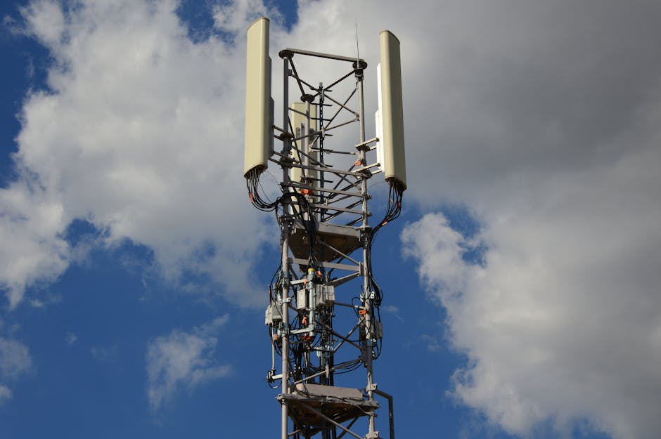
The Role of Digital Twins in Planning

Pexels
One of the most promising advancements in urban planning is the adoption of digital twin technology. These virtual, data-driven models enable planners to simulate interactions between traffic, energy systems, and environmental factors. However, as observed by Geo Week News, many digital twin models neglect the critical human and connectivity aspects of urban life. GeoTel fills this gap by supplying the telecom datasets necessary for dynamic modeling. Digital twins that incorporate fiber and broadband infrastructure enable cities to plan communications networks in concert with roads, utilities, and sensors, paving the way for smarter, more connected urban environments.
Future-proofing cities also requires careful attention to redundancy and disaster preparedness. Networks are becoming essential components of urban infrastructure, and GeoTel’s geospatial tools offer valuable insights into network routes and capacity, helping planners create resilient, connected neighborhoods. These measures will ensure that cities can support increasing digital demands while addressing potential risks such as outages or extreme weather events.
Sustainability and Connectivity Go Hand in Hand

Pexels
Sustainability is now a cornerstone of urban planning, with cities prioritizing low-carbon designs and climate resilience. Achieving these goals often relies on geospatial technology and advanced data analytics. GeoTel’s precision mapping tools help planners integrate connectivity into sustainable designs, such as determining optimal locations for broadband nodes, edge compute facilities, or fiber backhaul in energy-efficient neighborhoods.
For instance, GeoTel has noted that its mapping platforms can accelerate planning and deployment under programs like the $10.5 billion GRIP initiative in the energy sector. By incorporating telecom data into sustainability scenarios, cities can create smarter, greener urban spaces that are both efficient and adaptable to future needs. Additionally, tools like AR and VR, combined with GeoTel’s data, enhance public participation by offering citizens immersive visualizations of planned infrastructure projects, fostering trust and collaboration.
Practical Tips for Planners Utilizing Telecom Data

Pexels
Integrating telecom data into urban planning isn’t just a trend—it’s a necessity. Planners, city officials, and developers should prioritize acquiring updated telecom datasets for fiber routes, cell towers, and broadband nodes. GeoTel’s TeleTracker mapping system provides a seamless way to layer telecom infrastructure onto GIS environments, enabling comprehensive planning that coordinates with utilities, transit systems, and public spaces.
Preparing cities for the future also involves ensuring neighborhoods are built “connectivity-ready.” Planners need to consider proximity to fiber networks and anticipate demand for IoT, edge computing, and smart sensors. Public engagement tools, powered by telecom and spatial data, can further promote transparency and stakeholder buy-in for infrastructure decisions. Collaboration across sectors—utilities, real estate, transportation, and IT—will play a crucial role, and GeoTel’s geospatial datasets serve as a bridge connecting these domains.
In conclusion, urban planning today demands a holistic, connectivity-driven approach. With GeoTel’s specialized telecom GIS data and platforms, planners can integrate digital infrastructure seamlessly into their designs, ensuring smart, resilient, and inclusive cities. Whether upgrading legacy systems or envisioning new developments, one critical question remains: is your city’s connectivity plan in place? If not, GeoTel is ready to help position connectivity as a first-class priority in urban planning.


