GEO Satellites: Revolutionizing Global Communications and Navigation
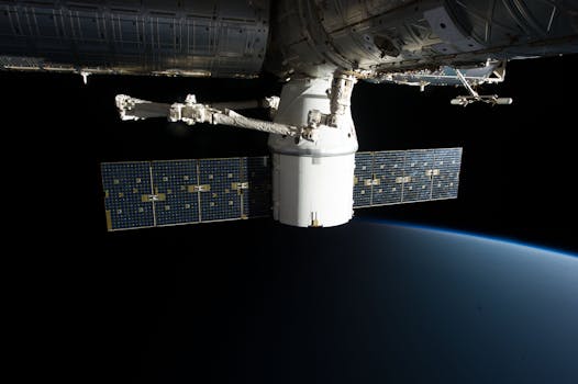
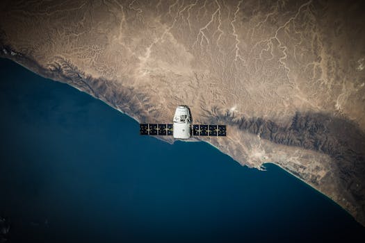
GEO satellites, or Geostationary Earth Orbit satellites, are a type of satellite that orbits the Earth at an altitude of approximately 36,000 kilometers, remaining stationary relative to a fixed point on the planet. This unique orbit allows GEO satellites to provide continuous coverage of a specific region, making them ideal for a wide range of applications, including telecommunications, navigation, and weather forecasting.
GEO satellites have been in use for decades, with the first geostationary satellite, Syncom 2, launched in 1963. Since then, the technology has advanced significantly, with modern GEO satellites offering higher bandwidth, greater connectivity, and more precise navigation capabilities. Today, GEO satellites play a vital role in modern telecommunications, providing internet connectivity, telephone services, and television broadcasting to millions of people around the world.
How GEO Satellites Work
GEO satellites operate by transmitting and receiving signals to and from Earth-based stations. The satellite acts as a repeater, amplifying the signal and retransmitting it back to Earth, allowing for communication between two distant points. The geostationary orbit of the satellite ensures that the signal is always directed at the same point on the Earth’s surface, providing a consistent and reliable connection.
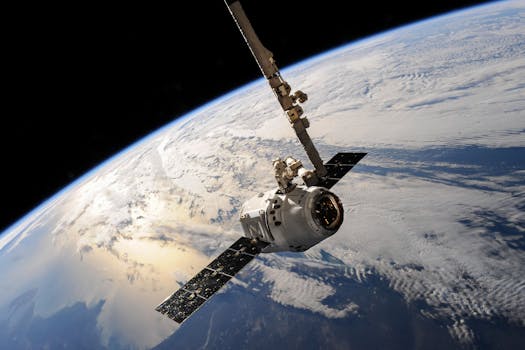
The process of launching a GEO satellite into orbit is complex and requires precise calculations to ensure the satellite reaches its desired orbit. Once in orbit, the satellite must be stabilized and oriented to maintain its position and ensure optimal performance. Modern GEO satellites are equipped with advanced propulsion systems, allowing them to make adjustments to their orbit and maintain their position over time.
Applications of GEO Satellites
GEO satellites have a wide range of applications, including telecommunications, navigation, and weather forecasting. In the field of telecommunications, GEO satellites provide internet connectivity, telephone services, and television broadcasting to remote and underserved areas. They also enable international communications, facilitating global connectivity and commerce.
In navigation, GEO satellites are used in conjunction with other satellites to provide location information and timing signals. This technology is used in a variety of applications, including aviation, maritime, and land transportation. GEO satellites also play a critical role in weather forecasting, providing imagery and data that help predict weather patterns and storms.
Future of GEO Satellites

The future of GEO satellites looks bright, with advances in technology and new applications on the horizon. Next-generation GEO satellites will offer even higher bandwidth, greater connectivity, and more precise navigation capabilities. The development of new propulsion systems and advanced materials will also enable the creation of more efficient and sustainable satellites.
In addition, the growing demand for satellite-based services, particularly in the areas of telecommunications and navigation, is driving innovation and investment in the GEO satellite sector. As the world becomes increasingly interconnected, the importance of GEO satellites will only continue to grow, providing vital services and connecting the world like never before.
See more: