GEO Satellites: The Backbone of Modern Telecommunications – Exploring the World of Geostationary Orbit
GEO satellites play a crucial role in modern telecommunications, providing a wide range of services including television broadcasting, telecommunications, and weather forecasting. In this article, we will delve into the world of geostationary orbit and explore the benefits and applications of GEO satellites.
GEO Satellites: The Backbone of Modern Telecommunications
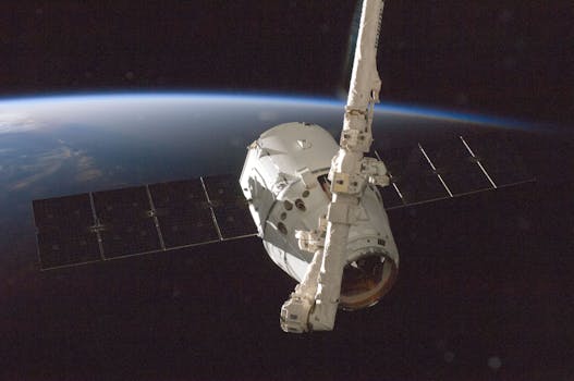
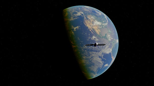
GEO satellites, or Geostationary Orbit satellites, are a type of satellite that orbits the Earth at an altitude of approximately 36,000 kilometers, remaining stationary relative to a fixed point on the Earth’s surface. This unique characteristic allows GEO satellites to provide a wide range of services, including television broadcasting, telecommunications, and weather forecasting. In this article, we will explore the world of geostationary orbit and examine the benefits and applications of GEO satellites.
GEO satellites have been in use for several decades, with the first geostationary satellite, Syncom 2, launched in 1963. Since then, the technology has evolved significantly, with modern GEO satellites offering high-speed data transfer rates, advanced navigation systems, and improved broadcasting capabilities. The geostationary orbit is a unique environment, with satellites experiencing a consistent and stable temperature, which allows for the use of high-gain antennas and sensitive receivers.
Applications of GEO Satellites
GEO satellites have a wide range of applications, including television broadcasting, telecommunications, weather forecasting, and navigation. One of the most significant benefits of GEO satellites is their ability to provide global coverage, allowing for the transmission of signals to remote and underserved areas. This has made GEO satellites an essential tool for international communications, enabling the exchange of information and ideas across the globe.
In addition to their use in telecommunications, GEO satellites are also used for weather forecasting and navigation. Geostationary satellites such as GOES-16 and Himawari-8 provide high-resolution images of the Earth’s surface, allowing for the tracking of weather patterns and the prediction of severe weather events. Navigation systems such as GPS rely on a network of GEO satellites to provide location information and timing signals, enabling the precise navigation of aircraft, ships, and vehicles.
Benefits of GEO Satellites
The benefits of GEO satellites are numerous, with some of the most significant advantages including global coverage, high-speed data transfer rates, and advanced navigation systems. GEO satellites also offer a high level of reliability, with many satellites operating for 15 years or more. This makes them an attractive option for applications where continuous service is essential, such as telecommunications and navigation.
In addition to their technical benefits, GEO satellites also offer economic advantages. The use of GEO satellites can reduce the cost of telecommunications and navigation, as they eliminate the need for expensive ground-based infrastructure. This has made GEO satellites an essential tool for developing countries, where the cost of building and maintaining ground-based infrastructure can be prohibitively expensive.
Challenges and Future Developments
Despite the many benefits of GEO satellites, there are also challenges associated with their use. One of the most significant challenges is the risk of satellite congestion, as the geostationary orbit becomes increasingly crowded. This can lead to interference between satellites, reducing their effectiveness and increasing the risk of system failures.
To address these challenges, researchers are exploring new technologies and techniques, such as advanced propulsion systems and more efficient antenna designs. The development of new satellite constellations, such as OneWeb and SpaceX’s Starlink, is also expected to increase the availability of GEO satellites, providing more options for telecommunications and navigation.
See more: