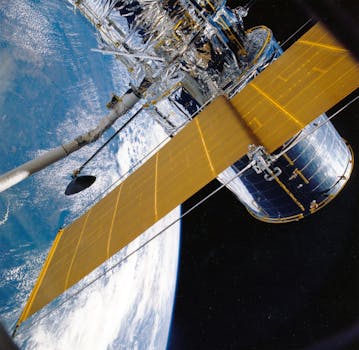
GEO Satellites: Understanding the Technology and Applications of Geostationary Orbit Satellites

GEO Satellites: Understanding the Technology and Applications of Geostationary Orbit Satellites
GEO satellites, or geostationary orbit satellites, are a type of satellite that orbits the Earth at an altitude of approximately 36,000 kilometers, remaining stationary relative to a fixed point on the planet. This unique characteristic allows GEO satellites to provide continuous coverage of a specific region, making them an essential component of modern telecommunications. In this article, we will delve into the technology and applications of GEO satellites, exploring their history, design, and uses.
GEO satellites have been in use for several decades, with the first geostationary satellite, Syncom 2, launched in 1963. Since then, the technology has evolved significantly, with advancements in materials, propulsion systems, and instrumentation. Today, GEO satellites are used for a wide range of applications, including telecommunications, weather forecasting, navigation, and Earth observation.
How GEO Satellites Work
GEO satellites operate by transmitting and receiving signals to and from Earth stations, which are located on the ground. The satellite receives a signal from an Earth station, amplifies it, and then retransmits it back to Earth, allowing the signal to be received by other Earth stations. This process enables communication between different regions, facilitating global communication networks.
The geostationary orbit is a unique orbit that allows a satellite to remain stationary relative to a fixed point on the Earth. This is achieved by placing the satellite at an altitude of approximately 36,000 kilometers, where the gravitational force of the Earth is balanced by the centrifugal force of the satellite’s motion. As a result, the satellite remains stationary, providing continuous coverage of a specific region.
Applications of GEO Satellites
GEO satellites have a wide range of applications, including telecommunications, weather forecasting, navigation, and Earth observation. In telecommunications, GEO satellites are used to provide internet connectivity, telephone services, and television broadcasting. They are also used for weather forecasting, providing images of cloud patterns, sea surface temperatures, and other meteorological data.
In navigation, GEO satellites are used to provide location information and timing signals, which are used by GPS receivers to determine their position and velocity. Additionally, GEO satellites are used for Earth observation, providing images of the Earth’s surface, which are used for environmental monitoring, disaster response, and natural resource management.
Advantages and Disadvantages of GEO Satellites
GEO satellites have several advantages, including their ability to provide continuous coverage of a specific region, high signal strength, and long lifespan. However, they also have some disadvantages, including high launch costs, limited bandwidth, and orbital congestion.
Despite these challenges, GEO satellites continue to play a vital role in modern telecommunications and will likely remain an essential component of global communication networks for the foreseeable future. As technology continues to evolve, we can expect to see advancements in GEO satellite design, instrumentation, and applications, further expanding their capabilities and uses.
Future Developments and Trends
The future of GEO satellites is exciting, with several trends and developments on the horizon. One of the most significant trends is the increasing use of high-throughput satellites (HTS), which offer higher bandwidth and faster data rates. Additionally, there is a growing demand for satellite-based broadband services, particularly in remote and underserved areas.
Another trend is the development of new satellite constellations, such as the Amazon Kuiper System and the SpaceX Starlink constellation, which aim to provide global internet connectivity. These constellations will consist of thousands of small satellites in low Earth orbit, providing high-speed internet access to remote and underserved areas.
In conclusion, GEO satellites are a crucial part of modern telecommunications, providing continuous coverage of specific regions and facilitating global communication networks. With their wide range of applications, including telecommunications, weather forecasting, navigation, and Earth observation, GEO satellites will continue to play a vital role in the future of satellite technology.


