GEO Satellites: Unlocking the Power of Geostationary Orbit
GEO satellites, or Geostationary Earth Orbit satellites, are a type of satellite that orbits the Earth at an altitude of approximately 36,000 kilometers. At this height, the satellite’s orbital period matches the Earth’s rotational period, allowing it to remain stationary in the sky. This unique orbit makes GEO satellites ideal for a variety of applications, including telecommunications, weather forecasting, and navigation.
History of GEO Satellites
The concept of GEO satellites was first proposed by science fiction writer Arthur C. Clarke in 1945. However, it wasn’t until the 1960s that the first GEO satellite, Syncom 2, was launched. Since then, thousands of GEO satellites have been launched, with many more planned for the future. Today, GEO satellites are a crucial part of modern telecommunications, providing high-speed internet and broadcast services to millions of people around the world.
How GEO Satellites Work
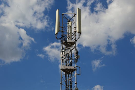
GEO satellites work by transmitting and receiving signals to and from Earth-based stations. The satellite’s high altitude and stationary position allow it to cover a wide area, making it possible to provide services to a large number of users. The signals transmitted by the satellite are received by dishes on the ground, which then decode and distribute the information to the end user. This process allows for the transmission of high-speed data, voice, and video signals over long distances.
Applications of GEO Satellites
GEO satellites have a wide range of applications, including telecommunications, weather forecasting, navigation, and broadcasting. They are used by governments, businesses, and individuals around the world to provide critical services such as emergency communications, financial transactions, and entertainment. In addition, GEO satellites are used for scientific research, such as studying the Earth’s climate and monitoring natural disasters.
Challenges and Limitations of GEO Satellites
Despite their many benefits, GEO satellites also have some challenges and limitations. One of the main limitations is the high cost of launching and operating a GEO satellite. Additionally, the satellite’s stationary position can make it vulnerable to interference from other satellites and terrestrial sources. Furthermore, the high altitude of GEO satellites can result in signal delay, which can be a problem for applications that require real-time communication.
Future of GEO Satellites
Despite the challenges and limitations, the future of GEO satellites looks bright. Advances in technology are making it possible to launch smaller, more efficient satellites that can provide the same services at a lower cost. Additionally, the development of new applications such as 5G and the Internet of Things (IoT) is driving demand for GEO satellites. As the demand for high-speed data and communication services continues to grow, GEO satellites will play an increasingly important role in providing these services to people around the world.


