GEO Satellites: Introduction to the Focus Keyword
GEO satellites, or Geostationary Earth Orbit satellites, are a type of satellite that orbits the Earth at an altitude of approximately 36,000 kilometers. At this altitude, the satellite’s orbital period is synchronized with the Earth’s rotational period, allowing it to remain stationary relative to a fixed point on the Earth’s surface. This unique characteristic makes GEO satellites ideal for a wide range of applications, including telecommunications, weather forecasting, and navigation. GEO satellites have revolutionized the way we communicate, navigate, and understand our planet, and continue to play a vital role in modern society.
The history of GEO satellites dates back to the 1960s, when the first geostationary satellite, Syncom 2, was launched by NASA. Since then, the technology has evolved significantly, with advancements in materials, propulsion systems, and electronics. Today, GEO satellites are used by governments, corporations, and organizations around the world for a variety of purposes, including broadcasting, telecommunications, and earth observation.
How GEO Satellites Work
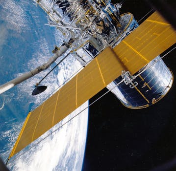
GEO satellites work by transmitting and receiving signals to and from Earth-based stations. The satellite’s antenna receives signals from the Earth station and retransmits them back to Earth, allowing for global coverage and communication. The satellite’s orbit is controlled by a combination of propulsion systems and gravity, which maintains its position and velocity. The satellite’s solar panels provide power, and its thermal control system regulates its temperature.
The signals transmitted by GEO satellites are typically in the C-band, Ku-band, or Ka-band frequencies, which provide a wide range of bandwidth and transmission capacities. The satellite’s transponder amplifies the received signal and retransmits it back to Earth, allowing for communication between two distant points. The signal is then received by an Earth station, which decodes and processes the information.
Applications of GEO Satellites
GEO satellites have a wide range of applications, including telecommunications, broadcasting, weather forecasting, navigation, and earth observation. In telecommunications, GEO satellites provide global coverage and enable communication between two distant points. They are used for voice, data, and video transmission, and are essential for modern telecommunications networks.
In broadcasting, GEO satellites are used for distributing television channels and radio programs to a wide audience. They are also used for weather forecasting, providing images and data that help predict weather patterns and storms. In navigation, GEO satellites are used for positioning and timing, providing location information and synchronization signals for GPS and other navigation systems.
Challenges and Future Developments
Despite the many advantages of GEO satellites, there are several challenges associated with their use. One of the main challenges is the high cost of launching and maintaining a GEO satellite, which can be prohibitively expensive for many organizations. Additionally, the risk of satellite failure or collision with other objects in space is a significant concern.
However, despite these challenges, the future of GEO satellites looks promising. With advancements in technology and the development of new propulsion systems, the cost of launching and maintaining a GEO satellite is decreasing. Additionally, the development of new applications, such as satellite-based internet and 5G networks, is expected to drive growth in the GEO satellite market.


