GEO Satellites: Understanding the Technology and Its Applications
GEO Satellites: Understanding the Technology and Its Applications
GEO satellites, or geostationary satellites, are a type of satellite that orbits the Earth at an altitude of approximately 36,000 kilometers. They are called geostationary because they appear to be stationary in the sky, as they orbit the Earth at the same speed as the planet’s rotation. GEO satellites have been a crucial part of modern satellite technology, providing a wide range of applications and services, including telecommunications, weather forecasting, and navigation.
History of GEO Satellites
The concept of GEO satellites was first proposed by scientist Arthur C. Clarke in 1945. The first GEO satellite, Syncom 2, was launched by NASA in 1963. Since then, hundreds of GEO satellites have been launched, with many countries and organizations operating their own fleets of satellites. The use of GEO satellites has revolutionized the field of telecommunications, enabling global communication and connectivity.
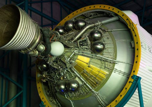
Design and Operation of GEO Satellites
GEO satellites are designed to operate in the geostationary orbit, which is a unique orbit that allows them to remain stationary in the sky. They are typically launched into space using a rocket and then propelled into the geostationary orbit using a combination of propulsion systems. Once in orbit, GEO satellites use their onboard propulsion systems to maintain their position and altitude. They are powered by solar panels and have a lifespan of around 15 years, after which they are typically replaced by new satellites.
Applications of GEO Satellites
GEO satellites have a wide range of applications, including telecommunications, weather forecasting, navigation, and Earth observation. They are used to provide satellite television, internet connectivity, and mobile phone services to remote and underserved areas. They are also used to monitor the weather and climate, providing critical data for forecasting and research. In addition, GEO satellites are used for navigation, providing location information and timing signals for GPS and other navigation systems.
In recent years, GEO satellites have also been used for Earth observation, providing high-resolution images of the Earth’s surface. This has enabled scientists to study the Earth’s climate, monitor natural disasters, and track changes in the environment. The use of GEO satellites has also enabled the development of new technologies, such as satellite-based internet and satellite-based navigation systems.
Future of GEO Satellites
The future of GEO satellites is exciting and rapidly evolving. With the development of new technologies, such as satellite constellations and reusable rockets, the cost of launching and operating GEO satellites is decreasing. This is enabling new companies and organizations to enter the market, providing a wider range of services and applications. In addition, the use of GEO satellites is expanding into new areas, such as space exploration and satellite-based manufacturing.


