GEO Satellites: The Backbone of Global Communications – GEO Satellites
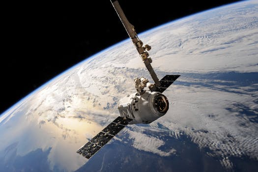
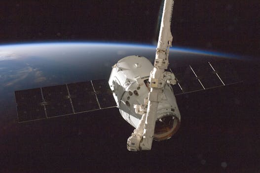
GEO satellites, or Geostationary Orbit satellites, are a type of satellite that orbits the Earth at an altitude of approximately 36,000 kilometers, remaining stationary relative to a fixed point on the planet. GEO satellites have been a cornerstone of global communications for decades, providing connectivity to remote areas, enabling international communication, and facilitating the transmission of data, voice, and video signals.
The history of GEO satellites dates back to the 1960s, when the first geostationary satellite, Syncom 2, was launched in 1963. Since then, the technology has evolved significantly, with modern GEO satellites offering higher bandwidth, improved signal quality, and increased reliability. Today, there are over 500 GEO satellites in orbit, operated by various countries, organizations, and private companies.
How GEO Satellites Work

GEO satellites work by transmitting and receiving signals to and from Earth stations, which are specialized antennas that communicate with the satellite. The signals are transmitted to the satellite, which then amplifies and re-transmits them back to Earth, allowing for communication between two distant points. The geostationary orbit of the satellite ensures that it remains stationary relative to a fixed point on the Earth, making it possible to maintain continuous communication.
The frequency bands used by GEO satellites vary, but the most common are C-band, Ku-band, and Ka-band. C-band is used for television broadcasting and telecommunications, while Ku-band is used for broadband internet and data transmission. Ka-band is used for high-speed data transmission and is commonly used for military and government applications.
Applications of GEO Satellites

GEO satellites have a wide range of applications, including telecommunications, television broadcasting, weather forecasting, and navigation. They are also used for military and government communications, as well as for scientific research and Earth observation.
In the field of telecommunications, GEO satellites provide connectivity to remote areas, enabling communication between people in different parts of the world. They are also used for international communication, facilitating the transmission of data, voice, and video signals between countries.
In television broadcasting, GEO satellites are used to transmit signals to cable headends and direct-to-home (DTH) platforms, allowing for global distribution of television channels. They are also used for radio broadcasting, providing coverage to remote areas and enabling global transmission of radio signals.
Challenges and Limitations of GEO Satellites

Despite the many benefits of GEO satellites, there are several challenges and limitations associated with their use. One of the main challenges is the high cost of launching and operating a GEO satellite, which can be prohibitively expensive for some organizations.
Another challenge is the limited availability of orbital slots, which can lead to congestion and interference between satellites. Additionally, GEO satellites are vulnerable to space weather and radiation, which can cause signal degradation and equipment failure.
Finally, the use of GEO satellites is subject to regulatory frameworks and international agreements, which can limit their use and deployment. The International Telecommunication Union (ITU) is responsible for coordinating the use of orbital slots and frequency bands, and ensuring that GEO satellites do not interfere with other satellite systems.
Conclusion

In conclusion, GEO satellites play a vital role in global communications, providing connectivity to remote areas and enabling international communication. While there are challenges and limitations associated with their use, the benefits of GEO satellites far outweigh the drawbacks. As technology continues to evolve, we can expect to see even more innovative applications of GEO satellites in the future.
See more:
