Exploring the World of GEO Satellites: Understanding their Importance and Applications
GEO Satellites: Introduction to Geostationary Orbit
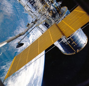
GEO satellites, or Geostationary satellites, are a type of artificial satellite that orbits the Earth at an altitude of approximately 36,000 kilometers above the equator. The term ‘geostationary’ refers to the fact that these satellites remain stationary relative to a fixed point on the Earth’s surface, allowing them to maintain continuous communication with a specific region. The concept of geostationary orbit was first proposed by scientist Arthur C. Clarke in 1945, and since then, GEO satellites have become a vital component of modern telecommunications, navigation, and Earth observation.
The principle behind GEO satellites is based on the idea that an object in orbit around the Earth must have a velocity of approximately 3.07 kilometers per second to maintain a stable orbit. By placing a satellite at an altitude of 36,000 kilometers, its orbital period becomes synchronous with the Earth’s rotational period, allowing it to remain stationary relative to a fixed point on the surface. This unique property enables GEO satellites to provide continuous coverage of a specific region, making them ideal for applications such as satellite communications, weather forecasting, and Earth observation.
Applications of GEO Satellites
GEO satellites have a wide range of applications, including satellite communications, navigation, weather forecasting, and Earth observation. In the field of telecommunications, GEO satellites are used to transmit television signals, provide internet connectivity, and enable mobile phone communications. They are also used for navigation purposes, such as in the Global Positioning System (GPS), which relies on a network of GEO satellites to provide location information and timing signals.
In the field of Earth observation, GEO satellites are used to monitor weather patterns, track climate change, and study the Earth’s natural resources. They are equipped with sophisticated sensors and cameras that can capture high-resolution images of the Earth’s surface, allowing scientists to study the planet’s geography, geology, and ecosystems. Additionally, GEO satellites are used for disaster response and recovery, providing critical information and communication services during emergencies.
Significance of GEO Satellites
The significance of GEO satellites cannot be overstated. They have revolutionized the way we communicate, navigate, and observe the Earth. The development of GEO satellites has enabled global telecommunications, allowing people to connect with each other across the globe. They have also enabled the creation of global navigation systems, such as GPS, which have transformed the way we travel and conduct business.
In the field of Earth observation, GEO satellites have provided scientists with a wealth of information about the Earth’s climate, geography, and natural resources. They have helped us to better understand the planet’s ecosystems, track climate change, and predict weather patterns. Additionally, GEO satellites have played a critical role in disaster response and recovery, providing critical information and communication services during emergencies.
Future of GEO Satellites
The future of GEO satellites is promising, with ongoing research and development aimed at improving their capabilities and applications. New technologies, such as high-throughput satellites and satellite constellations, are being developed to provide faster and more reliable communication services. Additionally, there is a growing interest in using GEO satellites for deep space exploration, such as missions to the Moon and Mars.
However, the increasing number of satellites in geostationary orbit has raised concerns about space debris and the potential for collisions. As a result, there is a growing need for sustainable and responsible practices in the development and operation of GEO satellites. This includes the implementation of debris mitigation measures, such as de-orbiting satellites at the end of their life and using environmentally friendly propulsion systems.


