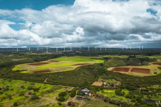
Eyes in the Sky: Advanced Technologies Transforming Earth Observation with Eyes in the Sky have become an essential tool for monitoring our planet. The field of Earth observation is undergoing a significant transformation due to the advent of advanced technologies, enabling us to monitor our planet more effectively. One of the primary drivers of this transformation is the development of sophisticated satellite imaging systems, which can capture high-resolution images of the Earth’s surface.
These advanced satellites are equipped with cutting-edge sensors and cameras that can detect even the smallest changes in the environment, allowing us to track deforestation, ocean pollution, and climate change more accurately. Furthermore, the use of artificial intelligence and machine learning algorithms to analyze satellite data has significantly improved the accuracy and speed of Earth observation.
The integration of satellite imaging with other technologies, such as drones and unmanned aerial vehicles (UAVs), has further expanded the capabilities of Earth observation. Drones and UAVs can capture high-resolution images of specific areas, providing valuable insights into local environmental conditions. Additionally, the use of satellite-based internet of things (IoT) devices has enabled real-time monitoring of environmental parameters, such as temperature, humidity, and air quality.
Advanced Satellite Imaging Systems
The development of advanced satellite imaging systems has revolutionized the field of Earth observation. These satellites are equipped with high-resolution cameras and sensors that can capture detailed images of the Earth’s surface. For example, the European Space Agency’s (ESA) Sentinel-2 satellite can capture images with a resolution of up to 10 meters, allowing for detailed analysis of land use, land cover, and environmental changes.
Another example is the NASA’s Landsat 8 satellite, which can capture images with a resolution of up to 15 meters. These high-resolution images have numerous applications, including monitoring deforestation, tracking changes in ocean currents, and detecting natural disasters such as earthquakes and hurricanes.
Artificial Intelligence and Machine Learning in Earth Observation
The use of artificial intelligence (AI) and machine learning (ML) algorithms has significantly improved the analysis of satellite data. AI and ML can automatically detect patterns and changes in the environment, reducing the need for manual analysis. For instance, AI-powered algorithms can be used to detect deforestation, monitor crop health, and track changes in ocean currents.
Moreover, ML algorithms can be used to predict environmental changes, such as weather patterns and natural disasters. The integration of AI and ML with satellite imaging has enabled the development of predictive models that can forecast environmental changes, allowing for more effective decision-making and resource allocation.
Conclusion
In conclusion, the field of Earth observation is undergoing a significant transformation due to the advent of advanced technologies. The development of sophisticated satellite imaging systems, the integration of AI and ML algorithms, and the use of drones and UAVs have expanded the capabilities of Earth observation. As these technologies continue to evolve, we can expect even more accurate and detailed monitoring of our planet, enabling us to make more informed decisions about the environment and natural resources.


