GEO Satellites: Enhancing Global Communication and Navigation
GEO satellites, or Geostationary Earth Orbit satellites, are a type of satellite that orbits the Earth at an altitude of approximately 36,000 kilometers, remaining stationary relative to a fixed point on the Earth’s surface. This unique characteristic allows GEO satellites to provide a wide range of services, including television broadcasting, telecommunications, and weather forecasting, to a specific region of the Earth. In this article, we will delve into the world of GEO satellites, exploring their history, applications, and benefits.
History of GEO Satellites
The concept of GEO satellites was first proposed by science fiction writer Arthur C. Clarke in 1945. However, it wasn’t until the 1960s that the first GEO satellite, Syncom 2, was launched by NASA. Since then, numerous GEO satellites have been launched, with many countries and organizations operating their own fleets of satellites. Today, there are over 500 GEO satellites in orbit, providing a vast array of services to people around the world.
Applications of GEO Satellites
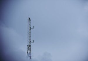
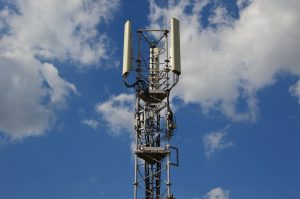
GEO satellites have a wide range of applications, including television broadcasting, telecommunications, weather forecasting, and navigation. Television broadcasting is one of the most common applications of GEO satellites, with many satellites providing direct-to-home television services to millions of people around the world. Telecommunications is another significant application, with GEO satellites providing internet connectivity, phone services, and other communication services to remote and underserved areas. Weather forecasting is also an important application, with GEO satellites providing high-resolution images of the Earth’s weather patterns, allowing for more accurate forecasting and warning systems.
Benefits of GEO Satellites
The benefits of GEO satellites are numerous and significant. One of the most notable benefits is their ability to provide global coverage, allowing people in remote and underserved areas to access vital services such as communication, education, and healthcare. GEO satellites also provide a high level of reliability and redundancy, with many satellites operating in tandem to ensure continuous service. Additionally, GEO satellites have a long lifespan, with many satellites operating for 15 years or more, making them a cost-effective solution for many applications.
Challenges and Future Developments
Despite the many benefits of GEO satellites, there are also challenges and limitations to their use. One of the main challenges is the risk of satellite congestion, with many satellites operating in the same orbit and frequency range. This can lead to interference and collisions, which can have significant consequences. To address this challenge, many organizations are working on developing new technologies and strategies for managing satellite traffic and reducing the risk of collisions. Another challenge is the issue of space debris, with many satellites and other objects in orbit posing a risk to operational satellites. To address this challenge, many organizations are working on developing new technologies and strategies for removing debris and reducing the risk of collisions.