GEO Satellites: Revolutionizing Global Communication and Navigation
GEO satellites, or Geostationary Earth Orbit satellites, have revolutionized global communication and navigation, providing a wide range of services including television broadcasting, telecommunications, and weather forecasting. With their high altitude and stationary position in the sky, GEO satellites offer a unique perspective on our planet, enabling us to stay connected and informed like never before.
At the beginning of the GEO satellites era, the concept of launching a satellite into a geostationary orbit was considered science fiction. However, with the launch of the first GEO satellite, Syncom 2, in 1963, the world witnessed a new era of space exploration and communication. Today, there are over 500 GEO satellites in orbit, providing a wide range of services to millions of people around the world.
How GEO Satellites Work
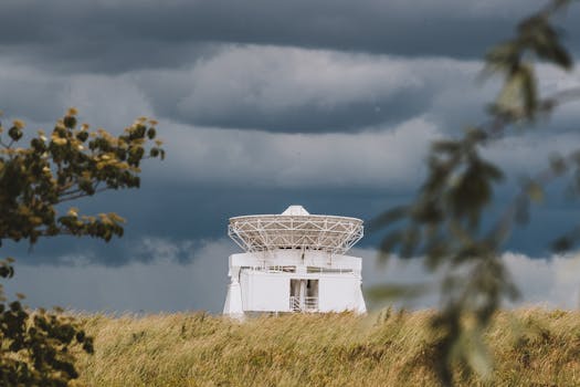
GEO satellites work by transmitting and receiving signals to and from Earth stations, which are specialized antennas that communicate with the satellite. The signals are transmitted to the satellite, which then transmits them back to Earth, allowing for global communication and navigation. GEO satellites are typically launched into a geostationary orbit, which is approximately 36,000 kilometers above the equator. At this altitude, the satellite’s orbital period matches the Earth’s rotational period, allowing it to remain stationary in the sky.
The GEO satellites have a number of advantages over other types of satellites, including their high altitude and stationary position. This allows for a wide range of services to be provided, including television broadcasting, telecommunications, and weather forecasting. Additionally, GEO satellites can provide a high level of redundancy and reliability, making them an essential part of modern communication and navigation systems.
Applications of GEO Satellites
GEO satellites have a wide range of applications, including television broadcasting, telecommunications, and weather forecasting. They are also used for navigation, providing location information and timing signals to GPS receivers on the ground. Additionally, GEO satellites are used for scientific research, including Earth observation and space weather monitoring.
In the field of television broadcasting, GEO satellites have revolutionized the way we watch TV. With the ability to transmit signals to a wide area, GEO satellites have enabled global broadcasting, allowing people to watch their favorite TV shows and movies from anywhere in the world. Similarly, in the field of telecommunications, GEO satellites have enabled global communication, providing a wide range of services including voice, data, and internet connectivity.
Future of GEO Satellites
The future of GEO satellites looks bright, with a number of new technologies and applications on the horizon. One of the most significant developments is the use of high-throughput satellites, which can provide much faster data speeds than traditional GEO satellites. Additionally, the use of small satellites and satellite constellations is becoming increasingly popular, providing a more efficient and cost-effective way to provide global communication and navigation services.
In conclusion, GEO satellites have revolutionized global communication and navigation, providing a wide range of services including television broadcasting, telecommunications, and weather forecasting. With their high altitude and stationary position in the sky, GEO satellites offer a unique perspective on our planet, enabling us to stay connected and informed like never before. As technology continues to evolve, we can expect to see even more innovative applications of GEO satellites in the future.