GEO Satellites: The Backbone of Modern Telecommunications and Navigation
GEO satellites, or Geostationary Earth Orbit satellites, are a type of satellite that orbits the Earth at an altitude of approximately 36,000 kilometers, remaining stationary relative to a fixed point on the Earth’s surface. This unique characteristic allows GEO satellites to provide continuous coverage of a specific region, making them an essential component of modern telecommunications and navigation systems.
GEO satellites have been in use for several decades, with the first GEO satellite, Syncom 2, launched in 1963. Since then, hundreds of GEO satellites have been launched, providing a wide range of services, including telecommunications, navigation, weather forecasting, and Earth observation. The use of GEO satellites has revolutionized the way we communicate, navigate, and understand our planet.
Applications of GEO Satellites
GEO satellites have a wide range of applications, including telecommunications, navigation, weather forecasting, and Earth observation. In the field of telecommunications, GEO satellites are used to provide broadband internet, television broadcasting, and mobile phone services to remote and underserved areas. They are also used to provide backup connectivity in case of fiber optic cable outages or natural disasters.
In the field of navigation, GEO satellites are used to provide location information and timing signals, which are essential for a wide range of applications, including aviation, maritime, and land transportation. The Global Positioning System (GPS) is a well-known example of a navigation system that relies on GEO satellites to provide location information and timing signals.
How GEO Satellites Work
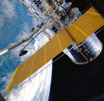
GEO satellites work by transmitting and receiving signals to and from Earth stations, which are located on the ground. The signals are transmitted through a series of antennas and transponders, which amplify and re-transmit the signals to their final destination. GEO satellites are equipped with a range of instruments, including transponders, antennas, and propulsion systems, which allow them to maintain their position and altitude in space.
The process of launching a GEO satellite into space is complex and requires careful planning and execution. The satellite is first launched into a low Earth orbit, where it is then propelled into a geostationary transfer orbit using a rocket engine. Once in the geostationary transfer orbit, the satellite uses its onboard propulsion system to circularize its orbit and reach its final position in space.
Benefits and Challenges of GEO Satellites
GEO satellites offer a range of benefits, including global coverage, high bandwidth, and reliability. They are also relatively low cost compared to other types of satellites, making them an attractive option for a wide range of applications. However, GEO satellites also have some challenges, including signal latency, interference, and congestion.
Signal latency is a significant challenge for GEO satellites, as it can take several hundred milliseconds for a signal to travel from the Earth to the satellite and back again. This can cause problems for applications that require real-time communication, such as video conferencing and online gaming. Interference is also a challenge, as GEO satellites can be affected by radio frequency interference from other satellites and ground-based systems.
Congestion is another challenge facing GEO satellites, as the increasing demand for satellite services is putting a strain on the available bandwidth. This can cause problems for applications that require high bandwidth, such as video streaming and online gaming. To address these challenges, satellite operators are using a range of techniques, including signal compression, frequency reuse, and satellite constellation systems.
Future of GEO Satellites
The future of GEO satellites is exciting and rapidly evolving. With the increasing demand for satellite services, there is a growing need for more advanced and capable GEO satellites. The development of new technologies, such as high-throughput satellites and satellite constellations, is expected to play a significant role in the future of GEO satellites.
High-throughput satellites are designed to provide higher bandwidth and faster data rates than traditional GEO satellites. They use advanced technologies, such as spot beams and frequency reuse, to increase the amount of data that can be transmitted through the satellite. Satellite constellations are also being developed, which involve a large number of small satellites working together to provide global coverage and high bandwidth.
The use of GEO satellites is also being expanded into new areas, such as the Internet of Things (IoT) and 5G networks. The IoT is a network of physical devices, vehicles, and other items that are embedded with sensors, software, and connectivity, allowing them to collect and exchange data. GEO satellites are being used to provide connectivity for IoT devices, particularly in remote and underserved areas.
5G networks are also being developed, which will provide faster data rates and lower latency than current 4G networks. GEO satellites are expected to play a significant role in the development of 5G networks, particularly in providing backup connectivity and extending coverage to remote and underserved areas.