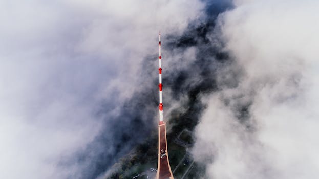
GEO satellites, or geostationary satellites, are a type of satellite that orbits the Earth at an altitude of approximately 36,000 kilometers, which is about 22,300 miles. At this altitude, the satellite’s orbital period matches the Earth’s rotational period, allowing it to remain stationary relative to a fixed point on the Earth’s surface. This unique characteristic makes GEO satellites ideal for a variety of applications, including television broadcasting, telecommunications, and weather forecasting.
The concept of GEO satellites was first proposed by science fiction writer Arthur C. Clarke in 1945. Clarke suggested that a satellite in geostationary orbit could be used to relay communications signals around the world, providing a means of global communication that was not possible with traditional wire-based systems. The first GEO satellite, Intelsat 1, was launched in 1965 and marked the beginning of a new era in satellite communication.
Today, GEO satellites play a vital role in modern communication, providing a wide range of services that are essential to our daily lives. One of the most significant applications of GEO satellites is television broadcasting. GEO satellites are used to transmit television signals from one location to another, allowing people around the world to receive a wide range of channels and programming. This has revolutionized the way we consume media, providing access to news, entertainment, and educational programming that was previously unavailable.
In addition to television broadcasting, GEO satellites are also used for telecommunications. They provide a means of transmitting voice and data signals over long distances, allowing people to communicate with each other in real-time. This has been particularly useful for remote or underserved communities, where traditional wire-based communication systems are not available. GEO satellites have also enabled the development of mobile phone networks, which have transformed the way we communicate and access information on the go.
GEO satellites are also used for weather forecasting and earth observation. They provide a means of monitoring the Earth’s weather patterns and tracking changes in the environment. This information is used to predict weather patterns, monitor climate change, and track natural disasters such as hurricanes and wildfires. GEO satellites have also been used to monitor the Earth’s resources, including agriculture, forestry, and water resources.
In recent years, there has been a growing interest in the use of GEO satellites for space exploration. They provide a means of communicating with spacecraft and monitoring their progress as they travel through space. GEO satellites have also been used to support space missions, providing a means of transmitting data and voice signals between spacecraft and mission control.
Despite the many benefits of GEO satellites, there are also some challenges associated with their use. One of the main challenges is satellite congestion, which occurs when there are too many satellites in orbit, causing interference and disrupting communication signals. There is also a risk of satellite collisions, which can cause significant damage and disrupt communication services. To mitigate these risks, there is a need for effective satellite management and regulation, to ensure that GEO satellites are used in a safe and responsible manner.
In conclusion, GEO satellites play a vital role in modern communication, providing a wide range of services that are essential to our daily lives. From television broadcasting to telecommunications, and from weather forecasting to space exploration, GEO satellites have revolutionized the way we communicate and access information. As the demand for satellite services continues to grow, it is essential that we prioritize effective satellite management and regulation, to ensure that GEO satellites are used in a safe and responsible manner.
The future of GEO satellites is likely to be shaped by advances in technology and innovation. There are many new and exciting developments on the horizon, including the use of high-throughput satellites and small satellites. These new technologies have the potential to increase the capacity and efficiency of GEO satellites, providing faster and more reliable communication services. They also have the potential to reduce the cost of satellite services, making them more accessible to people around the world.
Another area of innovation is the use of artificial intelligence and machine learning in GEO satellites. These technologies have the potential to improve the efficiency and effectiveness of satellite operations, allowing for real-time monitoring and analysis of communication signals. They also have the potential to enable new applications and services, such as predictive maintenance and anomaly detection.
In terms of regulation, there is a need for international cooperation and agreement on the use of GEO satellites. This includes the development of global standards and regulations for the operation of GEO satellites, as well as the establishment of international frameworks for the management of satellite congestion and collisions. There is also a need for national regulations and policies to govern the use of GEO satellites, including the allocation of frequency spectra and the provision of licensing and authorization for satellite operations.
Finally, there is a need for public awareness and education about the benefits and risks of GEO satellites. This includes the provision of information about the role of GEO satellites in modern communication, as well as the potential risks and challenges associated with their use. There is also a need for public engagement and participation
See more:


