GEO Satellites: Understanding the Role of Geostationary Satellites in Modern Telecommunications
GEO Satellites: Understanding the Role of Geostationary Satellites in Modern Telecommunications
GEO satellites, or Geostationary satellites, are a type of satellite that orbits the Earth at an altitude of approximately 36,000 kilometers, remaining stationary relative to a fixed point on the planet. GEO satellites have been a cornerstone of modern telecommunications, providing reliable and high-speed connectivity to remote and underserved areas. In this article, we will explore the history, functionality, and applications of GEO satellites, highlighting their importance in the modern telecommunications landscape.
History of GEO Satellites
The concept of GEO satellites was first proposed by scientist Arthur C. Clarke in 1945, who envisioned a network of satellites orbiting the Earth at an altitude of approximately 36,000 kilometers. The first GEO satellite, Syncom 2, was launched in 1963, marking the beginning of a new era in telecommunications. Since then, hundreds of GEO satellites have been launched, providing a wide range of services including television broadcasting, telecommunications, and weather forecasting.
Functionality of GEO Satellites
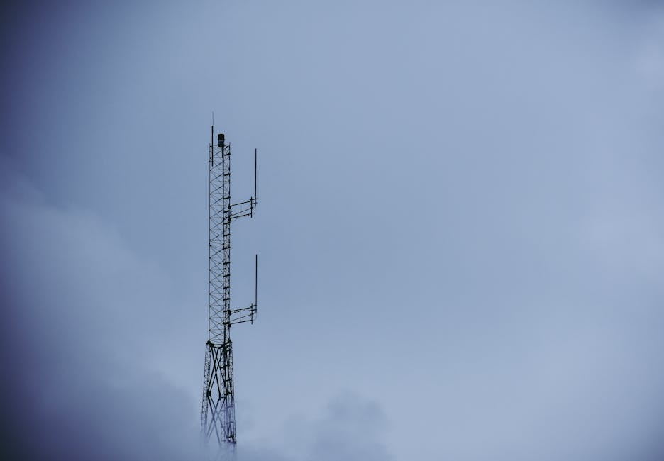
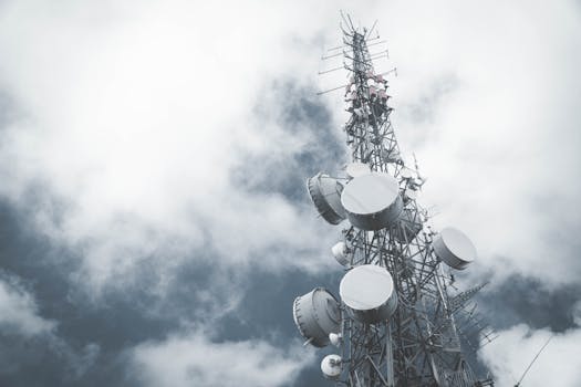
GEO satellites operate by receiving signals from Earth stations, amplifying them, and re-transmitting them back to Earth. This process allows for the transmission of data, voice, and video signals over long distances, connecting remote and underserved areas to the global telecommunications network. GEO satellites are equipped with transponders, which are responsible for receiving and re-transmitting signals. The number of transponders on a GEO satellite can vary, with some satellites carrying as many as 100 transponders.
GEO satellites are also equipped with antennas, which are used to receive and transmit signals. The type and size of the antenna used can vary depending on the specific application of the satellite. For example, a satellite used for television broadcasting may use a larger antenna to transmit a stronger signal.
Applications of GEO Satellites
GEO satellites have a wide range of applications, including television broadcasting, telecommunications, and weather forecasting. They are also used for navigation, providing location information and timing signals for GPS and other navigation systems. In addition, GEO satellites are used for Earth observation, providing images and data on the Earth’s climate, weather patterns, and natural resources.
One of the most significant applications of GEO satellites is in the provision of broadband internet services. Many companies, such as Hughes Network Systems and ViaSat, use GEO satellites to provide high-speed internet services to remote and underserved areas. These services are particularly important for areas where traditional terrestrial infrastructure is lacking or non-existent.
Conclusion
In conclusion, GEO satellites play a vital role in modern telecommunications, providing reliable and high-speed connectivity to remote and underserved areas. Their history, functionality, and applications are a testament to the importance of these satellites in the modern telecommunications landscape. As the demand for high-speed internet services continues to grow, the role of GEO satellites will only become more significant, providing a vital link between remote areas and the global telecommunications network.