GEO Satellites: Understanding the Technology and Applications
GEO satellites, or Geostationary Earth Orbit satellites, are a type of satellite that orbits the Earth at an altitude of approximately 36,000 kilometers, remaining stationary relative to a fixed point on the Earth’s surface. This unique characteristic allows GEO satellites to provide continuous coverage of a specific region, making them ideal for a variety of applications, including telecommunications, weather forecasting, and Earth observation.
GEO satellites have been in use for several decades, with the first geostationary satellite, Syncom 2, launched in 1963. Since then, the technology has evolved significantly, with modern GEO satellites offering higher bandwidth, greater power, and more advanced propulsion systems. Today, there are over 500 GEO satellites in orbit, providing a wide range of services to users around the world.
How GEO Satellites Work
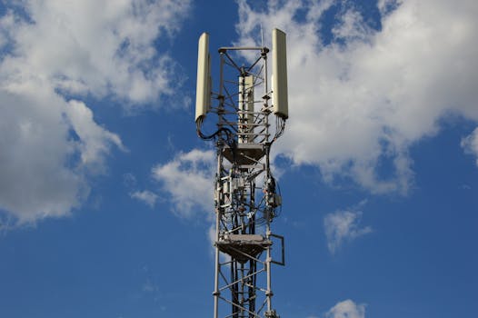
GEO satellites work by transmitting and receiving signals to and from Earth stations, which are located on the ground. The signals are transmitted through a large antenna on the satellite, which is pointed towards the Earth. The signals are then received by a smaller antenna on the Earth station, which decodes the signals and sends them to their final destination. This process allows GEO satellites to provide a wide range of services, including television broadcasting, internet connectivity, and mobile communications.
One of the key benefits of GEO satellites is their ability to provide continuous coverage of a specific region. This makes them ideal for applications such as television broadcasting, where a signal needs to be transmitted to a wide audience over a large area. GEO satellites are also used for mobile communications, providing connectivity to remote areas where traditional telecommunications infrastructure is not available.
Applications of GEO Satellites
GEO satellites have a wide range of applications, including telecommunications, weather forecasting, and Earth observation. In the field of telecommunications, GEO satellites are used to provide television broadcasting, internet connectivity, and mobile communications. They are also used for navigation, providing location information and timing signals to GPS receivers on the ground.
In the field of weather forecasting, GEO satellites are used to monitor cloud patterns, track storms, and predict weather patterns. They are also used for Earth observation, providing images of the Earth’s surface and monitoring environmental changes such as deforestation and ocean currents.
Future of GEO Satellites
The future of GEO satellites is exciting, with several new technologies and applications on the horizon. One of the most significant developments is the use of high-throughput satellites (HTS), which offer higher bandwidth and greater power than traditional GEO satellites. HTS are expected to play a major role in the development of 5G networks, providing the high-speed connectivity needed for applications such as virtual reality and IoT.
Another area of development is the use of electric propulsion systems, which offer greater efficiency and longer lifespan than traditional propulsion systems. Electric propulsion systems are expected to become more widespread in the coming years, allowing GEO satellites to operate for longer periods and reducing the need for costly replacement missions.