
GEO Satellites: Understanding the Technology and Applications
GEO satellites, or Geostationary Earth Orbit satellites, are a type of satellite that orbits the Earth at an altitude of approximately 36,000 kilometers. They are called geostationary because they appear to be stationary in the sky, remaining above the same point on the Earth’s surface. This unique characteristic makes them ideal for a variety of applications, including telecommunications, weather forecasting, and Earth observation.
GEO satellites have been in use for several decades, with the first geostationary satellite, Syncom 2, launched in 1963. Since then, the technology has improved significantly, with modern GEO satellites offering higher bandwidth, greater reliability, and more advanced features. Today, there are hundreds of GEO satellites in orbit, providing a wide range of services to users around the world.
How GEO Satellites Work
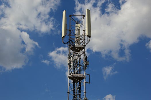
GEO satellites work by transmitting and receiving signals to and from Earth stations. They are equipped with transponders, which are devices that receive a signal, amplify it, and then re-transmit it back to Earth. The signals are transmitted on a specific frequency, and the satellite’s antenna is designed to receive and transmit signals in a specific range of frequencies. The signals are then received by Earth stations, which can be located anywhere in the world.
The orbit of a GEO satellite is synchronized with the rotation of the Earth, which means that it completes one orbit in exactly 24 hours. This allows the satellite to remain above the same point on the Earth’s surface, providing a constant and reliable signal. The satellite’s position is maintained by a combination of gravitational forces and the momentum of the satellite itself.
Applications of GEO Satellites
GEO satellites have a wide range of applications, including telecommunications, weather forecasting, and Earth observation. They are used to provide television broadcasting, internet connectivity, and mobile phone services to remote and underserved areas. They are also used to monitor weather patterns, track storms, and predict natural disasters such as hurricanes and tsunamis.
In addition to these applications, GEO satellites are also used for navigation, providing location information and timing signals to GPS receivers on the ground. They are also used for scientific research, such as studying the Earth’s climate, monitoring ocean currents, and tracking the movement of glaciers.
Benefits and Challenges of GEO Satellites
GEO satellites offer several benefits, including global coverage, high bandwidth, and reliability. They can provide services to remote and underserved areas, where other forms of communication may not be available. They are also relatively low-maintenance, as they can be operated remotely and do not require frequent visits to the satellite.
However, GEO satellites also face several challenges, including congestion in the geostationary orbit, interference from other satellites, and the risk of space debris. The geostationary orbit is a limited resource, and the increasing demand for satellite services is putting pressure on the available slots. Additionally, the risk of space debris is a growing concern, as the number of satellites in orbit increases and the risk of collisions and other accidents grows.