GEO Satellites: Understanding the Technology and Applications
GEO satellites, or Geostationary Earth Orbit satellites, are a type of satellite that orbits the Earth at an altitude of approximately 36,000 kilometers, remaining stationary relative to a fixed point on the equator. This unique characteristic allows GEO satellites to provide continuous coverage of a specific region, making them ideal for a wide range of applications, including telecommunications, weather forecasting, and Earth observation.
The concept of GEO satellites was first proposed by science fiction writer Arthur C. Clarke in 1945, and the first GEO satellite, Syncom 2, was launched in 1963. Since then, the technology has evolved significantly, with modern GEO satellites boasting advanced capabilities, such as high-gain antennas, transponders, and propulsion systems.
Design and Technology
GEO satellites are designed to operate in the harsh environment of space, with temperatures ranging from -270°C to 120°C. They are typically equipped with solar panels, which provide power, and batteries, which store energy for when the satellite is in eclipse. The satellite’s payload, which includes the transponders, antennas, and other equipment, is designed to withstand the extreme conditions of space and to provide reliable and efficient operation.
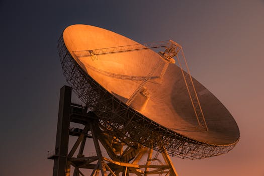
The antennas used on GEO satellites are designed to provide high-gain and high-directivity, allowing them to transmit and receive signals with high efficiency. The transponders, which are used to amplify and re-transmit signals, are designed to operate at specific frequency bands, such as C-band, Ku-band, or Ka-band.
Applications
GEO satellites have a wide range of applications, including telecommunications, weather forecasting, Earth observation, and navigation. In the field of telecommunications, GEO satellites are used to provide broadband internet, television broadcasting, and mobile communications. They are also used for backhaul services, which involve transporting data between different locations, such as from a cell tower to a central office.
In addition to telecommunications, GEO satellites are used for weather forecasting, providing images and data on cloud patterns, precipitation, and other weather-related phenomena. They are also used for Earth observation, providing data on land use, deforestation, and climate change.
Impact and Future Developments
GEO satellites have had a significant impact on the telecommunications industry, enabling global coverage and providing a wide range of services. However, the technology is not without its challenges, including signal latency, interference, and congestion. To address these challenges, researchers are developing new technologies, such as high-throughput satellites, which offer faster data rates and higher capacities.
In conclusion, GEO satellites play a vital role in modern telecommunications, providing global coverage and enabling a wide range of applications. As the technology continues to evolve, we can expect to see new and innovative applications of GEO satellites, from telecommunications to Earth observation and beyond.