GEO Satellites: Understanding the Technology and Applications
GEO Satellites: Understanding the Technology and Applications
GEO satellites, or Geostationary Earth Orbit satellites, are a type of satellite that orbits the Earth at an altitude of approximately 36,000 kilometers, remaining stationary above a fixed point on the equator. This unique orbit allows GEO satellites to provide continuous coverage of a specific region, making them ideal for a wide range of applications, including telecommunications, weather forecasting, and navigation.
The concept of GEO satellites was first proposed by science fiction writer Arthur C. Clarke in 1945, and the first GEO satellite, Syncom 2, was launched in 1963. Since then, hundreds of GEO satellites have been launched, providing global coverage and enabling a wide range of applications. GEO satellites are designed to operate for 15 years or more, making them a reliable and cost-effective solution for many industries.
Design and Technology
GEO satellites are designed to operate in the harsh environment of space, where temperatures can range from -270°C to 120°C. They are equipped with solar panels to generate power, and batteries to store energy for periods of darkness. The satellites are also equipped with propulsion systems, which allow them to maintain their orbit and make adjustments as needed.
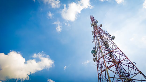
The communication payload of a GEO satellite typically consists of a large antenna, which transmits and receives signals to and from Earth. The antenna is designed to operate at specific frequencies, such as C-band, Ku-band, or Ka-band, and is typically shaped to provide a specific beam pattern. The satellite also carries a transponder, which amplifies and re-transmits the received signal.
Applications of GEO Satellites
GEO satellites have a wide range of applications, including telecommunications, weather forecasting, navigation, and Earth observation. In the telecommunications industry, GEO satellites are used to provide broadband internet, television broadcasting, and mobile communications. They are also used for military communications, providing secure and reliable connectivity for military personnel and equipment.
In the field of weather forecasting, GEO satellites are used to monitor cloud patterns, track storms, and predict weather patterns. They are equipped with specialized instruments, such as radiometers and spectrometers, which measure the temperature and humidity of the atmosphere. This data is used to create detailed weather forecasts, which are essential for predicting severe weather events and protecting life and property.
Future Developments and Challenges
The GEO satellite industry is constantly evolving, with new technologies and applications being developed. One of the major challenges facing the industry is the increasing demand for bandwidth, which is driving the development of new satellite systems and technologies. Another challenge is the issue of space debris, which poses a significant risk to operational satellites and requires careful management and mitigation.
Despite these challenges, the future of GEO satellites looks bright, with many new developments and applications on the horizon. The increasing demand for broadband internet and mobile communications is driving the development of new satellite systems, such as high-throughput satellites (HTS) and very high-throughput satellites (VHTS). These new systems offer higher speeds and greater capacity, making them ideal for applications such as streaming video and online gaming.


