GEO Satellites: Understanding the Technology and Applications
GEO Satellites: Understanding the Technology and Applications
GEO Satellites
GEO satellites, or Geostationary Earth Orbit satellites, are a type of satellite that orbits the Earth at an altitude of approximately 36,000 kilometers. At this altitude, the satellite’s orbital period is synchronized with the Earth’s rotational period, allowing it to remain stationary in the sky. This unique characteristic makes GEO satellites ideal for providing global coverage and enabling a wide range of applications, including telecommunications, weather forecasting, and navigation.
The concept of GEO satellites was first proposed by science fiction writer Arthur C. Clarke in 1945. However, it wasn’t until the 1960s that the first GEO satellite, Syncom 2, was launched. Since then, numerous GEO satellites have been launched, and they have become a vital component of modern telecommunications.
Design and Technology
GEO satellites are designed to operate in the harsh environment of space, where they are exposed to extreme temperatures, radiation, and other forms of interference. To overcome these challenges, GEO satellites are equipped with advanced technology, including solar panels, batteries, and transponders. Solar panels provide the necessary power for the satellite’s operations, while batteries store excess energy for use during periods of low sunlight. Transponders, on the other hand, are responsible for receiving and transmitting signals to and from the Earth.
GEO satellites also employ advanced propulsion systems, such as ion engines, to maintain their orbit and compensate for any drift. These propulsion systems use electrical energy to accelerate ions, which are then expelled to create thrust. In addition, GEO satellites are equipped with sophisticated navigation systems, including gyroscopes and star trackers, to determine their position and orientation in space.
Applications
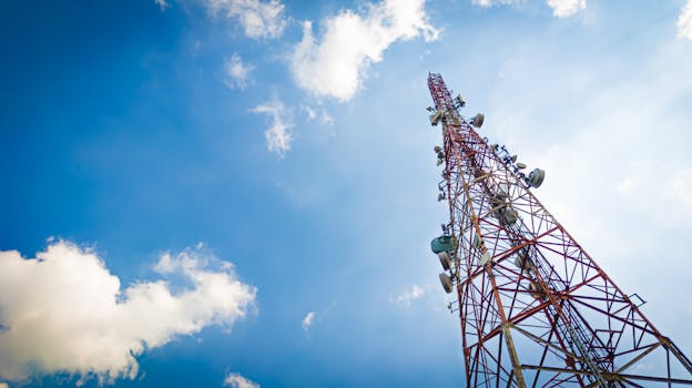
GEO satellites have a wide range of applications, including telecommunications, weather forecasting, and navigation. In telecommunications, GEO satellites are used to provide global coverage, enabling people to communicate with each other from anywhere in the world. They are also used to broadcast television channels, providing entertainment and news to millions of people.
In weather forecasting, GEO satellites are used to monitor the Earth’s weather patterns, providing vital information for meteorologists to predict the weather. They are equipped with advanced sensors, such as infrared and visible light sensors, which capture images of the Earth’s atmosphere and surface. These images are then used to track storms, monitor sea surface temperatures, and predict weather patterns.
Conclusion
GEO satellites play a vital role in modern telecommunications, providing global coverage and enabling a wide range of applications. From their history to their design and technology, GEO satellites are a remarkable achievement of human ingenuity and innovation. As technology continues to advance, it is likely that GEO satellites will play an even more important role in the future, enabling new applications and services that we cannot yet imagine.