GEO Satellites: Understanding the Technology and Applications
GEO satellites, or Geostationary Earth Orbit satellites, are a type of satellite that orbits the Earth at an altitude of approximately 36,000 kilometers. At this altitude, the satellite’s orbital period matches the Earth’s rotational period, allowing it to remain stationary relative to a fixed point on the Earth’s surface. This unique characteristic makes GEO satellites ideal for a variety of applications, including telecommunications, weather forecasting, and Earth observation.
GEO satellites have been in use for decades, with the first geostationary satellite, Syncom 2, launched in 1963. Since then, hundreds of GEO satellites have been launched, providing a wide range of services including television broadcasting, internet connectivity, and mobile communications. The use of GEO satellites has revolutionized the way we communicate, allowing people to stay connected with each other and access information from anywhere in the world.
How GEO Satellites Work
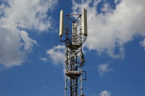
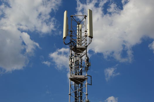
GEO satellites work by transmitting and receiving signals to and from Earth-based stations. The satellite receives signals from a ground station, amplifies them, and then re-transmits them back to Earth, where they are received by other ground stations or directly by consumers. This process allows GEO satellites to provide a wide range of services, including television broadcasting, internet connectivity, and mobile communications.
The signals transmitted by GEO satellites are typically in the C-band, Ku-band, or Ka-band frequency ranges. The C-band frequency range is used for television broadcasting and other low-frequency applications, while the Ku-band and Ka-band frequency ranges are used for higher-frequency applications such as internet connectivity and mobile communications.
Applications of GEO Satellites
GEO satellites have a wide range of applications, including:
Television broadcasting: GEO satellites are used to broadcast television signals to a wide audience, allowing people to access a variety of channels and programming from anywhere in the world.
Internet connectivity: GEO satellites provide internet connectivity to remote or underserved areas, allowing people to access the internet and stay connected with the rest of the world.
Mobile communications: GEO satellites are used to provide mobile communications services, including voice and data services, to people in remote or underserved areas.
Weather forecasting: GEO satellites are used to monitor the weather and provide forecasts, allowing people to stay informed about weather conditions and plan accordingly.
Earth observation: GEO satellites are used to monitor the Earth’s surface, providing valuable data and insights on climate change, natural disasters, and other environmental phenomena.
Future of GEO Satellites
The use of GEO satellites is expected to continue to grow in the coming years, with new technologies and applications being developed all the time. One of the most significant trends in the GEO satellite industry is the development of high-throughput satellites (HTS), which are designed to provide high-speed internet connectivity to a wide range of users.
Another trend is the use of GEO satellites for 5G networks, which are expected to provide faster and more reliable mobile communications services. GEO satellites are also being used for a variety of other applications, including Earth observation, weather forecasting, and space exploration.