GEO Satellites: Understanding the Technology and Applications of Geostationary Earth Orbit Satellites
GEO Satellites: Understanding the Technology and Applications of Geostationary Earth Orbit Satellites
GEO satellites, or geostationary earth orbit satellites, are a type of satellite that orbits the Earth at an altitude of approximately 35,786 kilometers (22,236 miles) above the equator. At this altitude, the satellite’s orbital period is synchronized with the Earth’s rotational period, allowing it to remain stationary in the sky relative to a fixed point on the Earth’s surface. GEO satellites are a crucial part of modern telecommunications, navigation, and weather forecasting, and have numerous applications in various fields.
The concept of GEO satellites was first proposed by scientist Arthur C. Clarke in 1945, and the first GEO satellite, Syncom 2, was launched in 1963. Since then, numerous GEO satellites have been launched, and they have become an essential part of modern telecommunications, providing services such as television broadcasting, telecommunications, and internet connectivity. GEO satellites are also used for navigation, weather forecasting, and Earth observation, and have played a crucial role in advancing our understanding of the Earth and the universe.
How GEO Satellites Work
GEO satellites work by transmitting and receiving signals to and from Earth stations, which are located on the ground. The satellite receives signals from the Earth station, amplifies them, and then re-transmits them back to the Earth station. This process allows for communication between two distant points on the Earth’s surface, and enables services such as television broadcasting, telecommunications, and internet connectivity. GEO satellites are equipped with transponders, which are devices that receive and re-transmit signals, and antennas, which are used to transmit and receive signals.
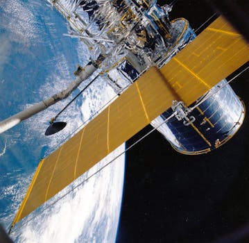
GEO satellites are typically launched into orbit using a rocket, and are placed into a geostationary orbit using a combination of propulsion systems and gravitational forces. Once in orbit, the satellite is stabilized and oriented using a combination of gyroscopes, thrusters, and solar panels. The satellite’s power is provided by solar panels, which convert sunlight into electricity, and the satellite’s communication systems are powered by a combination of solar panels and batteries.
Applications of GEO Satellites
GEO satellites have numerous applications in various fields, including telecommunications, navigation, weather forecasting, and Earth observation. In telecommunications, GEO satellites provide services such as television broadcasting, telecommunications, and internet connectivity. They are also used for navigation, providing location information and timing signals for GPS and other navigation systems. In weather forecasting, GEO satellites are used to monitor weather patterns and provide early warnings for severe weather events. They are also used for Earth observation, providing images and data on the Earth’s surface and atmosphere.
GEO satellites are also used for scientific research, providing data on the Earth’s climate, geology, and natural resources. They are also used for military and defense applications, providing communication and navigation services for military personnel and equipment. In addition, GEO satellites are used for commercial applications, such as providing internet connectivity for remote or underserved areas, and for monitoring and tracking natural resources such as oil and gas.
Challenges and Future Developments
Despite the numerous applications and benefits of GEO satellites, there are several challenges and limitations associated with their use. One of the main challenges is the high cost of launching and operating a GEO satellite, which can be prohibitively expensive for many organizations and countries. Additionally, GEO satellites are susceptible to interference and jamming, which can disrupt communication services and cause problems for users. Furthermore, the increasing number of GEO satellites in orbit is causing concerns about space debris and the potential for collisions between satellites.
To address these challenges, researchers and developers are working on new technologies and innovations, such as advanced propulsion systems, more efficient communication systems, and improved navigation and control systems. Additionally, there is a growing trend towards the use of smaller and more affordable satellites, such as cubesats and smallsats, which can provide similar services to GEO satellites at a lower cost. Furthermore, there is a growing interest in the use of alternative orbits, such as medium Earth orbit (MEO) and low Earth orbit (LEO), which can provide similar services to GEO satellites with less interference and less risk of collisions.