GEO Satellites: Understanding the Technology and Applications of Geostationary Earth Orbit Satellites
GEO satellites, or Geostationary Earth Orbit satellites, are a type of satellite that orbits the Earth at an altitude of approximately 36,000 kilometers above the equator. At this altitude, the satellite’s orbital period matches the Earth’s rotational period, allowing it to remain stationary relative to a fixed point on the Earth’s surface. This unique characteristic makes GEO satellites an essential part of modern telecommunications, navigation, and weather forecasting.
GEO satellites have been in use since the 1960s, with the first GEO satellite, Syncom 2, launched in 1963. Since then, the technology has evolved significantly, with modern GEO satellites offering high-bandwidth communications, precise navigation, and high-resolution imagery. The focus keyword GEO satellites is used to describe these satellites that play a vital role in our daily lives.
How GEO Satellites Work
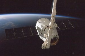
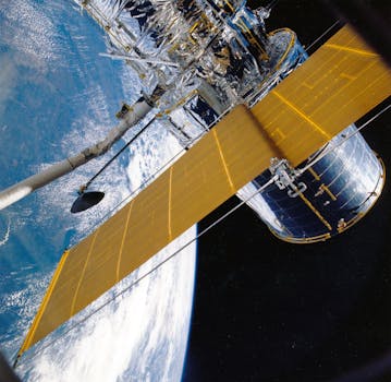
GEO satellites work by transmitting and receiving signals to and from Earth-based stations. The satellite’s antenna receives signals from the Earth station and retransmits them back to Earth, allowing for communication between two distant points. The satellite’s transponder amplifies the signal, allowing it to be received by the Earth station. This process is known as a bent pipe architecture, where the satellite acts as a simple repeater, amplifying and retransmitting the signal without modifying it.
The satellite’s position in geostationary orbit allows it to cover a large portion of the Earth’s surface, making it ideal for applications such as telecommunications, broadcasting, and weather forecasting. The satellite’s high altitude also provides a wide field of view, allowing it to monitor large areas of the Earth’s surface.
Applications of GEO Satellites
GEO satellites have a wide range of applications, including telecommunications, navigation, weather forecasting, and Earth observation. In telecommunications, GEO satellites are used for voice and data communication, providing connectivity to remote areas where terrestrial infrastructure is limited. They are also used for broadcasting, allowing television channels to reach a global audience.
In navigation, GEO satellites are used to provide location information and timing signals, which are essential for modern navigation systems such as GPS. The satellite’s high altitude and wide field of view also make it ideal for weather forecasting, allowing meteorologists to monitor weather patterns and predict weather conditions.
Earth observation is another significant application of GEO satellites, allowing scientists to study the Earth’s surface and monitor environmental changes. The satellite’s high-resolution imagery can be used to monitor deforestation, track ocean currents, and study the effects of climate change.
Future of GEO Satellites
The future of GEO satellites is exciting, with new technologies and innovations emerging. The development of high-throughput satellites (HTS) is revolutionizing the telecommunications industry, providing faster and more reliable connectivity. The use of electric propulsion systems is also becoming more widespread, allowing satellites to extend their mission life and reduce fuel consumption.
The emergence of small satellites, also known as smallsats, is another significant trend in the industry. Smallsats are smaller, lighter, and less expensive than traditional satellites, making them ideal for constellations and mega-constellations. These constellations will provide global coverage, enabling a wide range of applications such as IoT connectivity, Earth observation, and telecommunications.