GEO Satellites: Understanding the Technology and Applications of Geostationary Earth Orbit Satellites
GEO satellites, or geostationary earth orbit satellites, are a type of satellite that orbits the Earth at an altitude of approximately 36,000 kilometers, remaining stationary relative to a fixed point on the planet. This unique characteristic allows GEO satellites to provide continuous coverage of a specific region, making them ideal for a variety of applications, including telecommunications, weather forecasting, and Earth observation.
The concept of GEO satellites was first proposed by science fiction writer Arthur C. Clarke in 1945, and the first GEO satellite, Syncom 2, was launched in 1963. Since then, hundreds of GEO satellites have been launched, with many more planned for the future. GEO satellites have revolutionized the way we communicate, navigate, and understand our planet, and have played a critical role in the development of modern telecommunications.
How GEO Satellites Work
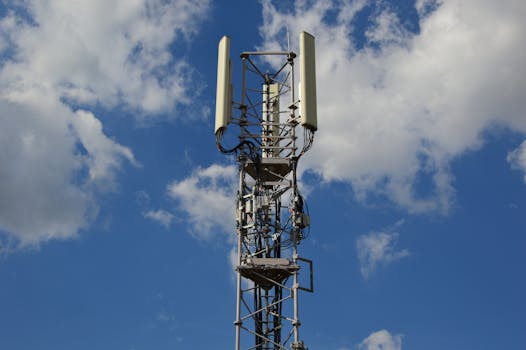
GEO satellites work by orbiting the Earth at a speed that matches the planet’s rotational period, which is approximately 24 hours. This allows the satellite to remain stationary relative to a fixed point on the Earth’s surface, providing continuous coverage of a specific region. GEO satellites typically operate in the C-band, Ku-band, or Ka-band frequency ranges, which are allocated for telecommunications and broadcasting services.
GEO satellites are equipped with transponders, which are devices that receive and retransmit signals. The transponders on a GEO satellite receive signals from Earth stations, amplify them, and then retransmit them back to Earth, allowing for communication between different regions. GEO satellites can also be used for broadcasting services, such as television and radio, by transmitting signals directly to receivers on the ground.
Applications of GEO Satellites
GEO satellites have a wide range of applications, including telecommunications, weather forecasting, Earth observation, and navigation. In the field of telecommunications, GEO satellites are used to provide internet connectivity, mobile phone services, and television broadcasting. They are also used for distance learning, telemedicine, and emergency communications.
In the field of weather forecasting, GEO satellites are used to monitor cloud patterns, storm systems, and other weather phenomena. They provide critical data for weather forecasting models, allowing meteorologists to predict weather patterns and issue warnings for severe weather events. GEO satellites are also used for Earth observation, providing data on ocean currents, sea surface temperature, and other environmental parameters.
Advantages and Challenges of GEO Satellites
GEO satellites have several advantages, including their ability to provide continuous coverage of a specific region, high bandwidth capacity, and long lifespan. However, they also have some challenges, including the high cost of launch and maintenance, limited maneuverability, and potential for interference from other satellites.
Despite these challenges, GEO satellites remain a crucial part of modern telecommunications, providing a wide range of services that are essential for modern life. As technology continues to evolve, we can expect to see new and innovative applications of GEO satellites, including the use of advanced propulsion systems, higher frequency bands, and more efficient transponders.


