GEO Satellites: Understanding the Technology and Applications of Geostationary Earth Orbit Satellites
GEO satellites, or Geostationary Earth Orbit satellites, are a type of satellite that plays a vital role in modern telecommunications, navigation, and weather forecasting. At the beginning of our discussion on GEO satellites, it is essential to understand the basics of these satellites and their importance in our daily lives. Geostationary Earth Orbit satellites are placed in a geosynchronous orbit, which means they orbit the Earth at an altitude of approximately 36,000 kilometers (22,300 miles) above the equator. This unique orbit allows them to remain stationary relative to a fixed point on the Earth’s surface, providing continuous coverage of a specific region.
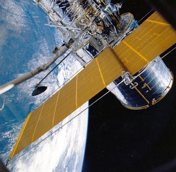
The technology behind GEO satellites is complex and involves a range of advanced systems. The satellites are equipped with transponders, which receive and retransmit signals to and from Earth. They also have advanced propulsion systems, which enable them to maintain their position in orbit and make adjustments as needed. Additionally, GEO satellites are equipped with solar panels, which provide the power needed to operate the satellite’s systems.
Applications of GEO Satellites
GEO satellites have a wide range of applications, including telecommunications, navigation, and weather forecasting. In the field of telecommunications, GEO satellites are used to provide television broadcasting, internet connectivity, and mobile phone services. They are particularly useful in areas where terrestrial infrastructure is limited or non-existent, such as remote or developing regions. For example, GEO satellites are used to provide internet connectivity to rural areas, where fiber optic cables are not available.
In the field of navigation, GEO satellites are used to provide location information and timing signals. The Global Positioning System (GPS) is a network of GEO satellites that provides location information to GPS receivers on the ground. GPS is widely used for navigation, mapping, and other applications, including aviation, maritime, and land transportation. GEO satellites are also used in the field of weather forecasting, where they provide imagery and data on cloud patterns, precipitation, and other weather-related phenomena.
Benefits and Challenges of GEO Satellites
The benefits of GEO satellites are numerous, including their ability to provide continuous coverage of a specific region, their high bandwidth capacity, and their ability to operate in remote or hard-to-reach areas. However, there are also challenges associated with GEO satellites, including the high cost of launching and maintaining them, the risk of satellite failure, and the potential for interference from other satellites or terrestrial systems.
Despite these challenges, GEO satellites continue to play a vital role in modern telecommunications, navigation, and weather forecasting. As technology continues to evolve, we can expect to see new and innovative applications of GEO satellites, including the use of high-throughput satellites, which offer higher bandwidth capacity and faster data transfer rates.
Conclusion
In conclusion, GEO satellites are a crucial part of modern telecommunications, navigation, and weather forecasting. Their unique orbit and advanced technology make them an essential tool for providing continuous coverage of a specific region. While there are challenges associated with GEO satellites, their benefits are numerous, and they continue to play a vital role in our daily lives. As we look to the future, it will be exciting to see how GEO satellites continue to evolve and innovate, providing new and exciting applications and services.