GEO Satellites: Understanding the Technology and Applications of Geostationary Orbit Satellites
GEO Satellites: Understanding the Technology and Applications of Geostationary Orbit Satellites
GEO satellites, or geostationary orbit satellites, are a type of satellite that orbits the Earth at an altitude of approximately 36,000 kilometers, which is the same distance as the Earth’s equatorial radius. This unique orbit allows GEO satellites to remain stationary in the sky, relative to a fixed point on the Earth’s surface, making them ideal for a wide range of applications, including telecommunications, weather forecasting, and Earth observation.
The concept of geostationary orbit was first proposed by science fiction writer Arthur C. Clarke in 1945, and the first GEO satellite, Syncom 2, was launched in 1963. Since then, hundreds of GEO satellites have been launched, providing a wide range of services and applications. In this article, we will explore the technology and applications of geostationary orbit satellites, including their history, design, and uses.
How GEO Satellites Work
GEO satellites are designed to operate in the geostationary orbit, which is a circular orbit that lies in the plane of the Earth’s equator. To achieve this orbit, a satellite must be launched into space and then propelled to an altitude of approximately 36,000 kilometers, where it can orbit the Earth at a speed of approximately 3.07 kilometers per second. Once in orbit, the satellite uses its onboard propulsion system to maintain its position and altitude, ensuring that it remains stationary in the sky relative to a fixed point on the Earth’s surface.
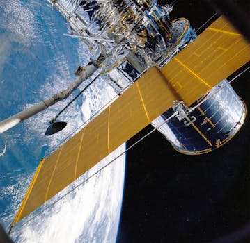
GEO satellites typically use a combination of solar panels and batteries to generate power, and they are equipped with a range of communications and sensing instruments, including transponders, antennas, and cameras. The communications instruments on a GEO satellite allow it to transmit and receive data to and from Earth, while the sensing instruments allow it to collect data on the Earth’s weather, climate, and natural resources.
Applications of GEO Satellites
GEO satellites have a wide range of applications, including telecommunications, weather forecasting, Earth observation, and navigation. In the field of telecommunications, GEO satellites are used to provide television broadcasting, telecommunications, and internet connectivity to remote and underserved areas. They are also used to provide backup connectivity in the event of a disaster or outage, and to support the operation of critical infrastructure, such as financial networks and emergency services.
In the field of weather forecasting, GEO satellites are used to collect data on the Earth’s weather patterns, including cloud cover, precipitation, and temperature. This data is used to predict weather patterns and issue warnings for severe weather events, such as hurricanes and tornadoes. GEO satellites are also used to monitor the Earth’s climate, including the concentration of greenhouse gases, sea level rise, and ice cover.
Future of GEO Satellites
The future of GEO satellites is likely to be shaped by advances in technology, including the development of new propulsion systems, materials, and sensing instruments. One of the key trends in the development of GEO satellites is the use of electric propulsion systems, which offer greater efficiency and maneuverability than traditional chemical propulsion systems. Another trend is the use of advanced materials, such as carbon fiber and nanomaterials, which offer greater strength, durability, and thermal stability than traditional materials.
Another area of development is the use of small satellites, which are smaller, cheaper, and more agile than traditional GEO satellites. Small satellites offer a range of advantages, including lower launch costs, faster development times, and greater flexibility. They are also more suitable for certain applications, such as Earth observation and communications, where high resolution and rapid revisit times are required.
Conclusion
In conclusion, GEO satellites are a crucial part of modern telecommunications and weather forecasting, providing a wide range of services and applications. The technology and applications of geostationary orbit satellites are constantly evolving, with advances in propulsion systems, materials, and sensing instruments. As the demand for satellite services continues to grow, it is likely that GEO satellites will play an increasingly important role in supporting the operation of critical infrastructure, including telecommunications, weather forecasting, and navigation.


