GEO Satellites: Understanding the Technology and Applications of Geostationary Orbit Satellites
GEO Satellites: Understanding the Technology and Applications of Geostationary Orbit Satellites
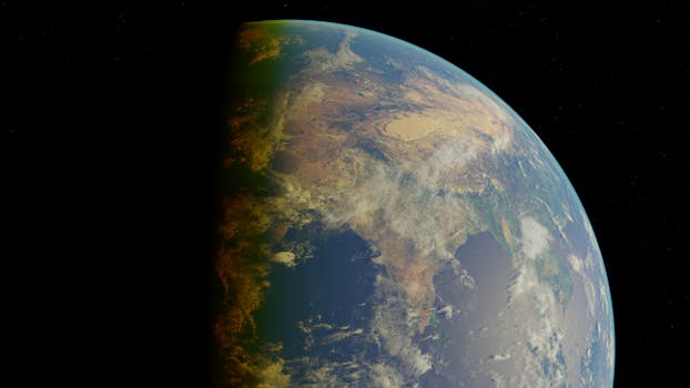
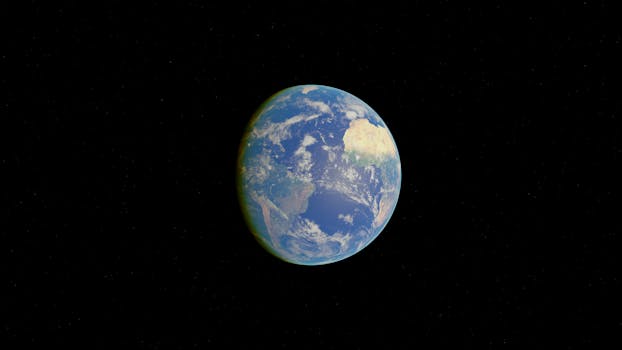
GEO satellites, or geostationary orbit satellites, are a type of satellite that orbits the Earth at an altitude of approximately 36,000 kilometers, remaining stationary relative to a fixed point on the equator. This unique characteristic allows GEO satellites to continuously observe and communicate with a specific region of the Earth, making them an essential tool for various applications such as telecommunications, Earth observation, and weather forecasting.
The concept of GEO satellites was first proposed by science fiction writer Arthur C. Clarke in 1945, and the first GEO satellite, Syncom 2, was launched in 1963. Since then, the technology has advanced significantly, with modern GEO satellites carrying a wide range of payloads, including transponders, antennas, and sensors. These payloads enable GEO satellites to provide a variety of services, such as television broadcasting, telecommunications, and Earth observation.
Orbit and Station-Keeping
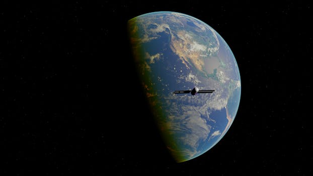
GEO satellites orbit the Earth at an altitude of approximately 36,000 kilometers, which is about 1/10th the distance between the Earth and the Moon. At this altitude, the satellite’s orbital period is equal to the Earth’s rotational period, allowing it to remain stationary relative to a fixed point on the equator. This is achieved through a combination of the satellite’s velocity and the gravitational force of the Earth.
However, due to the gravitational influence of the Moon and the Sun, as well as the slight ellipticity of the Earth’s equator, GEO satellites are not perfectly stationary. To maintain their position, GEO satellites must perform periodic station-keeping maneuvers, which involve firing thrusters to adjust their velocity and maintain their orbit. This process ensures that the satellite remains within a narrow range of its assigned longitude, typically ±0.1°.
Applications of GEO Satellites
GEO satellites have a wide range of applications, including telecommunications, Earth observation, and weather forecasting. In telecommunications, GEO satellites are used for television broadcasting, telephone communications, and internet connectivity. They provide a high-gain, directional signal that can be received by a large number of users, making them ideal for broadcasting and point-to-multipoint communications.
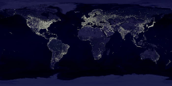
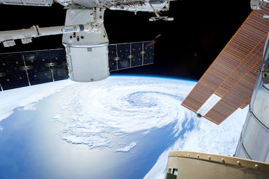
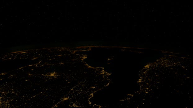
In Earth observation, GEO satellites are used to monitor the Earth’s surface and atmosphere. They carry sensors such as cameras, spectrometers, and radar, which provide data on the Earth’s topography, land use, ocean currents, and atmospheric conditions. This data is used for a variety of applications, including disaster management, environmental monitoring, and climate change research.
In weather forecasting, GEO satellites are used to monitor cloud patterns, precipitation, and other weather phenomena. They provide high-resolution images of the Earth’s surface and atmosphere, which are used to predict weather patterns and issue warnings for severe weather events.
Challenges and Limitations
Despite their many applications, GEO satellites also have several challenges and limitations. One of the main limitations is the high cost of launching and operating a GEO satellite. The launch cost alone can be hundreds of millions of dollars, and the satellite must be designed to operate for at least 15 years to be economically viable.
Another challenge is the limited bandwidth available for GEO satellites. The radio frequency spectrum is a limited resource, and the allocation of bandwidth for GEO satellites is strictly regulated by international agreements. This limits the number of GEO satellites that can be launched and the services they can provide.
Finally, GEO satellites are also vulnerable to space debris and other hazards. The geostationary orbit is a crowded and dynamic environment, with many satellites and pieces of debris orbiting the Earth. This increases the risk of collisions and other accidents, which can damage or destroy a GEO satellite.
Conclusion
In conclusion, GEO satellites are a vital component of modern telecommunications, Earth observation, and weather forecasting. Their unique orbit and station-keeping capabilities make them an essential tool for a wide range of applications. However, they also have several challenges and limitations, including high launch costs, limited bandwidth, and vulnerability to space debris.
Despite these challenges, the demand for GEO satellites is expected to continue growing in the coming years, driven by the increasing need for telecommunications, Earth observation, and weather forecasting services. As the technology continues to advance, we can expect to see more efficient and cost-effective GEO satellites, with improved capabilities and applications.
See more: